Enghien night lights from space
Night Light of Enghien (Wallonia) from space (Belgium) Src. Average luminocity for 10x10km area is 17.7126% and for 50x50km: 36.2027%.
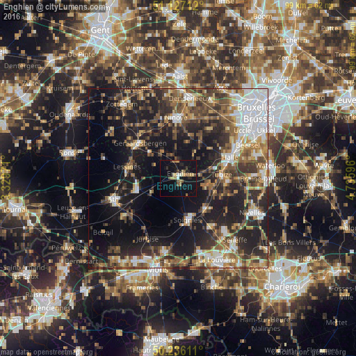
Analysis of Enghien night lights 2016
Square area 10x10 km:
 0.27%
0.27%90-99
1.6%80-89
3.07%70-79
2.54%60-69
1.87%50-59
4.01%40-49
2.01%30-39
1.2%20-29
3.74%10-19
25.13%0-9
54.55%Square area 50x50 km:
6.05%90-99
5.53%80-89
3.29%70-79
4.47%60-69
5%50-59
6.44%40-49
6.69%30-39
6.81%20-29
11.18%10-19
21.36%0-9
23.17%Clear (daylight) street map image can be seen on geolist.org.
Map coordinates:
51° 7' 37.6" North, 3° 19' 47" East
50° 41' 1.4" North, 4° 1' 58.2" East
50° 14' 10" North, 4° 44' 9.5" East
Some cities around Enghien sort by population:
• Soignies
12 km =7.5 mi,  166°
166°
• Tubize
11.9 km =7.4 mi,  86°
86°
• Braine-le-Comte
11.5 km =7.1 mi,  135°
135°
• Rebecq-Rognon
6.3 km =3.9 mi,  124°
124°
• Gooik
13.6 km =8.5 mi,  24°
24°
• Galmaarden
8.9 km =5.5 mi,  330°
330°
• Silly
8.6 km =5.3 mi,  243°
243°
• Herne
4.5 km =2.8 mi,  1°
1°
2798747 (p: 11,367)
Sources (retrieved 2019-11-25):
» Earth at Night: Flat Maps 2012, 2016