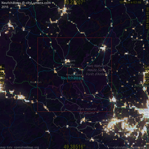
Neufchâteau night lights from space
Night Light of Neufchâteau (Wallonia) from space (Belgium) Src. Average luminocity for 10x10km area is 3.8155% and for 50x50km: 2.3313%.
Analysis of Neufchâteau night lights 2016
Square area 10x10 km:
 0.4%
0.4%90-99
0.67%80-89
0.27%70-79
0%60-69
0%50-59
1.87%40-49
0.13%30-39
1.2%20-29
1.34%10-19
0.67%0-9
93.45%Square area 50x50 km:
0.18%90-99
0.27%80-89
0.21%70-79
0.27%60-69
0.39%50-59
0.31%40-49
0.4%30-39
0.44%20-29
0.66%10-19
0.86%0-9
96%Clear (daylight) street map image can be seen on geolist.org.
Map coordinates:
50° 17' 31.5" North, 4° 43' 56" East
49° 50' 26.7" North, 5° 26' 7.3" East
49° 23' 6.6" North, 6° 8' 18.5" East
Some cities around Neufchâteau sort by population:
• Bastogne
27.2 km =16.9 mi,  48°
48°
• Bertrix
13 km =8.1 mi,  277°
277°
• Habay-la-Vieille
18.6 km =11.6 mi,  134°
134°
• Saint-Hubert
21.1 km =13.1 mi,  348°
348°
• Florenville
18.2 km =11.3 mi,  210°
210°
• Bouillon
26.9 km =16.7 mi,  258°
258°
• Étalle
22 km =13.7 mi,  147°
147°
• Paliseul
22.6 km =14 mi,  288°
288°
2790286 (p: 6,416)
Sources (retrieved 2019-11-25):
» Earth at Night: Flat Maps 2012, 2016