Bouillon night lights from space
Night Light of Bouillon (Wallonia) from space (Belgium) Src. Average luminocity for 10x10km area is 0.5642% and for 50x50km: 3.9384%.
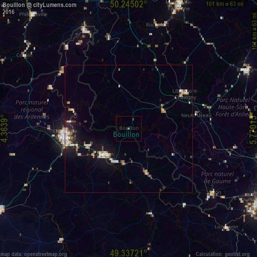
Analysis of Bouillon night lights 2016
Square area 10x10 km:
 0%
0%90-99
0%80-89
0%70-79
0%60-69
0%50-59
0.53%40-49
0%30-39
0.53%20-29
0%10-19
0%0-9
98.93%Square area 50x50 km:
0.62%90-99
0.68%80-89
0.36%70-79
0.29%60-69
0.46%50-59
0.44%40-49
0.43%30-39
0.56%20-29
0.72%10-19
3.19%0-9
92.23%Clear (daylight) street map image can be seen on geolist.org.
Map coordinates:
50° 14' 42.1" North, 4° 21' 50" East
49° 47' 35.7" North, 5° 4' 1.3" East
49° 20' 14" North, 5° 46' 12.5" East
Some cities around Bouillon sort by population:
• Charleville-Mézières, FR
24.7 km =15.3 mi,  263°
263°
• Sedan, FR
13.6 km =8.5 mi,  221°
221°
• Bertrix
15.2 km =9.4 mi,  62°
62°
• Nouzonville, FR
23.1 km =14.4 mi,  275°
275°
• Neufchâteau
26.9 km =16.7 mi,  78°
78°
• Saint-Hubert
34 km =21.1 mi,  40°
40°
• Florenville
20.2 km =12.6 mi,  121°
121°
• Paliseul
13.2 km =8.2 mi,  21°
21°
2801283 (p: 5,347)
Sources (retrieved 2019-11-25):
» Earth at Night: Flat Maps 2012, 2016