Gerpinnes night lights from space
Night Light of Gerpinnes (Wallonia) from space (Belgium) Src. Average luminocity for 10x10km area is 18.8025% and for 50x50km: 22.7981%.
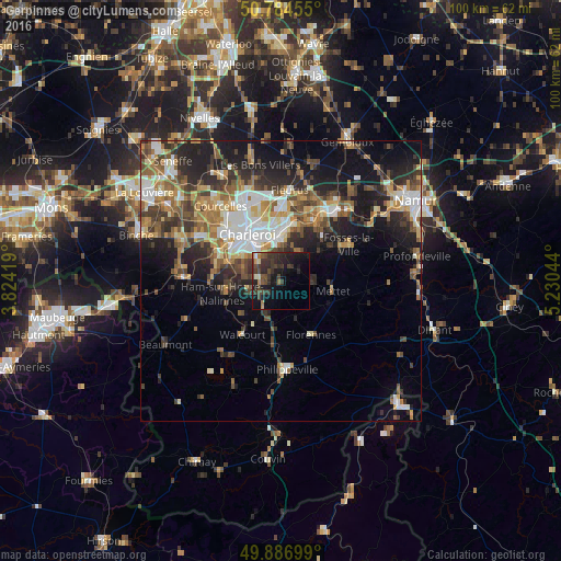
Analysis of Gerpinnes night lights 2016
Square area 10x10 km:
 0.28%
0.28%90-99
0.98%80-89
0.98%70-79
0.98%60-69
2.38%50-59
1.68%40-49
7.84%30-39
10.08%20-29
10.36%10-19
18.91%0-9
45.52%Square area 50x50 km:
3.22%90-99
3.99%80-89
2.25%70-79
2.97%60-69
3.65%50-59
3.59%40-49
3.96%30-39
4.16%20-29
6.81%10-19
10.78%0-9
54.62%Clear (daylight) street map image can be seen on geolist.org.
Map coordinates:
50° 47' 4.4" North, 3° 49' 27.1" East
50° 20' 16.4" North, 4° 31' 38.3" East
49° 53' 13.2" North, 5° 13' 49.6" East
Some cities around Gerpinnes sort by population:
• Charleroi
10.1 km =6.3 mi,  324°
324°
• Châtelet
7.3 km =4.5 mi,  0°
0°
• Walcourt
11.3 km =7 mi,  214°
214°
• Mettet
9.8 km =6.1 mi,  100°
100°
• Farciennes
10.3 km =6.4 mi,  5°
5°
• Aiseau
9.2 km =5.7 mi,  27°
27°
• Florennes
11.1 km =6.9 mi,  149°
149°
• La Bruyère
8.8 km =5.5 mi,  44°
44°
2797598 (p: 11,977)
Sources (retrieved 2019-11-25):
» Earth at Night: Flat Maps 2012, 2016