Châtelet night lights from space
Night Light of Châtelet (Wallonia) from space (Belgium) Src. Average luminocity for 10x10km area is 62.7143% and for 50x50km: 25.3057%.
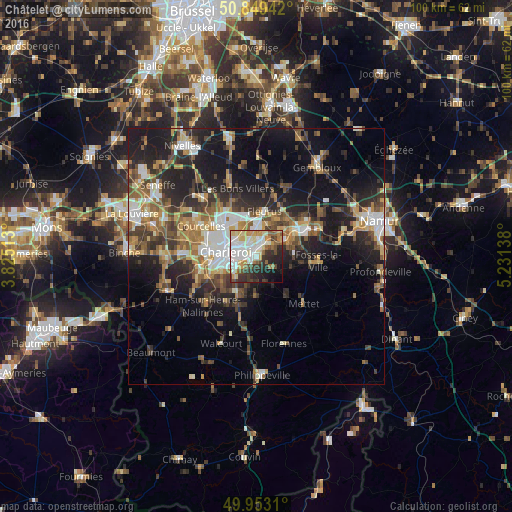
Analysis of Châtelet night lights 2016
Square area 10x10 km:
 16.81%
90-99
15.69%80-89
9.52%70-79
7.14%60-69
5.04%50-59
7%40-49
5.46%30-39
9.38%20-29
12.89%10-19
8.68%0-9
2.38%Square area 50x50 km:
3.39%90-99
4.28%80-89
2.47%70-79
3.22%60-69
3.97%50-59
3.89%40-49
4.3%30-39
4.62%20-29
7.97%10-19
15.22%0-9
46.66%Clear (daylight) street map image can be seen on geolist.org.
Map coordinates:
50° 50' 57.9" North, 3° 49' 30.5" East
50° 24' 12.2" North, 4° 31' 41.7" East
49° 57' 11.2" North, 5° 13' 53" East
Some cities around Châtelet sort by population:
• Charleroi
6 km =3.7 mi,  278°
278°
• Courcelles
12.8 km =8 mi,  301°
301°
• Fleurus
9 km =5.6 mi,  9°
9°
• Gerpinnes
7.3 km =4.5 mi,  180°
180°
• Farciennes
3.1 km =1.9 mi,  17°
17°
• Aiseau
4.2 km =2.6 mi,  77°
77°
• Fosses-la-Ville
11.9 km =7.4 mi,  94°
94°
• La Bruyère
6.2 km =3.9 mi,  98°
98°
2800448 (p: 35,238)
Sources (retrieved 2019-11-25):
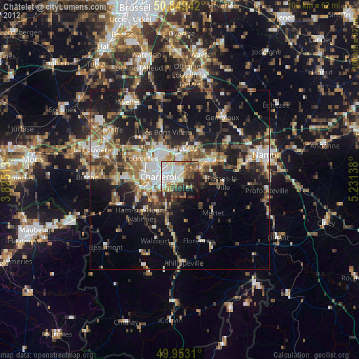
» Earth at Night: Flat Maps 2012, 2016