Berlaar night lights from space
Night Light of Berlaar (Flanders) from space (Belgium) Src. Average luminocity for 10x10km area is 33.488% and for 50x50km: 48.629%.
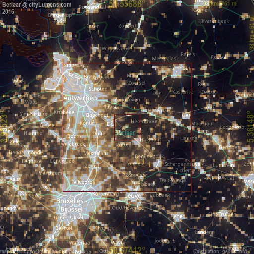
Analysis of Berlaar night lights 2016
Square area 10x10 km:
 1.74%
1.74%90-99
1.47%80-89
2.67%70-79
4.41%60-69
4.41%50-59
4.95%40-49
9.49%30-39
11.9%20-29
27.41%10-19
31.55%0-9
0%Square area 50x50 km:
10.59%90-99
9.84%80-89
4.55%70-79
6.12%60-69
7.12%50-59
8.24%40-49
7.7%30-39
6.36%20-29
9.7%10-19
17.47%0-9
12.31%Clear (daylight) street map image can be seen on geolist.org.
Map coordinates:
51° 33' 24.7" North, 3° 57' 18.8" East
51° 7' 3.4" North, 4° 39' 30.1" East
50° 40' 26.8" North, 5° 21' 41.3" East
Some cities around Berlaar sort by population:
• Heist-op-den-Berg
6.8 km =4.2 mi,  133°
133°
• Lier
6.3 km =3.9 mi,  283°
283°
• Nijlen
4.9 km =3 mi,  9°
9°
• Sint-Katelijne-Waver
10.3 km =6.4 mi,  236°
236°
• Ranst
10.3 km =6.4 mi,  321°
321°
• Putte
7.4 km =4.6 mi,  194°
194°
• Grobbendonk
9.7 km =6 mi,  33°
33°
• Herenthout
7.2 km =4.5 mi,  69°
69°
2802156 (p: 10,370)
Sources (retrieved 2019-11-25):
» Earth at Night: Flat Maps 2012, 2016