Heist-op-den-Berg night lights from space
Night Light of Heist-op-den-Berg (Flanders) from space (Belgium) Src. Average luminocity for 10x10km area is 40.9064% and for 50x50km: 43.7322%.
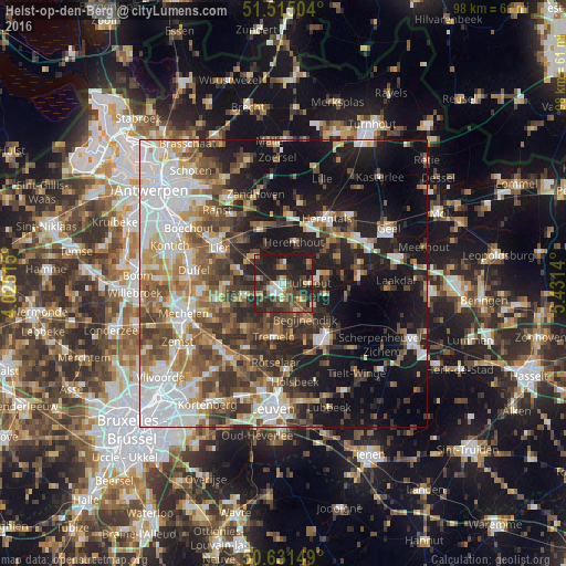
Analysis of Heist-op-den-Berg night lights 2016
Square area 10x10 km:
 3.74%
3.74%90-99
4.95%80-89
3.88%70-79
4.14%60-69
5.75%50-59
8.42%40-49
9.49%30-39
9.63%20-29
29.14%10-19
20.86%0-9
0%Square area 50x50 km:
9.58%90-99
7.97%80-89
4.01%70-79
4.89%60-69
6.16%50-59
7.14%40-49
7.34%30-39
6.87%20-29
9.8%10-19
19.21%0-9
17.03%Clear (daylight) street map image can be seen on geolist.org.
Map coordinates:
51° 30' 54.1" North, 4° 1' 30.5" East
51° 4' 31.3" North, 4° 43' 41.8" East
50° 37' 53.4" North, 5° 25' 53" East
Some cities around Heist-op-den-Berg sort by population:
• Nijlen
10.3 km =6.4 mi,  336°
336°
• Putte
7.1 km =4.4 mi,  249°
249°
• Tremelo
9.3 km =5.8 mi,  188°
188°
• Keerbergen
10.4 km =6.5 mi,  219°
219°
• Berlaar
6.8 km =4.2 mi,  313°
313°
• Hulshout
4.4 km =2.7 mi,  91°
91°
• Begijnendijk
7.3 km =4.5 mi,  148°
148°
• Herenthout
7.4 km =4.6 mi,  14°
14°
2796153 (p: 37,873)
Sources (retrieved 2019-11-25):
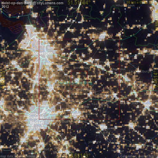
» Earth at Night: Flat Maps 2012, 2016