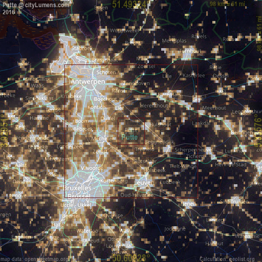
Putte night lights from space
Night Light of Putte (Flanders) from space (Belgium) Src. Average luminocity for 10x10km area is 44.1524% and for 50x50km: 52.2446%.
Analysis of Putte night lights 2016
Square area 10x10 km:
 1.2%
1.2%90-99
2.81%80-89
5.08%70-79
5.35%60-69
7.09%50-59
10.03%40-49
16.44%30-39
22.33%20-29
28.34%10-19
1.34%0-9
0%Square area 50x50 km:
13.71%90-99
10.45%80-89
4.27%70-79
6.02%60-69
7.29%50-59
8.45%40-49
8.24%30-39
7.07%20-29
9.3%10-19
15.15%0-9
10.05%Clear (daylight) street map image can be seen on geolist.org.
Map coordinates:
51° 29' 35.7" North, 3° 55' 46.2" East
51° 3' 12.1" North, 4° 37' 57.5" East
50° 36' 33.4" North, 5° 20' 8.7" East
Some cities around Putte sort by population:
• Heist-op-den-Berg
7.1 km =4.4 mi,  69°
69°
• Sint-Katelijne-Waver
7 km =4.3 mi,  282°
282°
• Bonheiden
6.9 km =4.3 mi,  240°
240°
• Tremelo
8.6 km =5.3 mi,  142°
142°
• Haacht
8.5 km =5.3 mi,  177°
177°
• Keerbergen
5.6 km =3.5 mi, 178°
• Boortmeerbeek
9.2 km =5.7 mi,  206°
206°
• Berlaar
7.4 km =4.6 mi,  14°
14°
2788521 (p: 15,276)
Sources (retrieved 2019-11-25):
» Earth at Night: Flat Maps 2012, 2016