Panchagarh night lights from space
Night Light of Panchagarh (Rangpur Division) from space (Bangladesh) Src. Average luminocity for 10x10km area is 21.4072% and for 50x50km: 6.8505%.
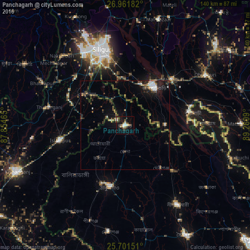
Analysis of Panchagarh night lights 2016
Square area 10x10 km:
 2.46%
2.46%90-99
2.84%80-89
3.79%70-79
1.52%60-69
1.52%50-59
4.17%40-49
2.46%30-39
1.14%20-29
6.82%10-19
22.92%0-9
50.38%Square area 50x50 km:
0.74%90-99
0.65%80-89
0.38%70-79
0.46%60-69
0.53%50-59
1.35%40-49
1.73%30-39
1.79%20-29
1.93%10-19
4.58%0-9
85.86%Clear (daylight) street map image can be seen on geolist.org.
Map coordinates:
26° 57' 42.6" North, 87° 51' 16.7" East
26° 20' 0.2" North, 88° 33' 28" East
25° 42' 5.4" North, 89° 15' 39.2" East
Some cities around Panchagarh sort by population:
• Siliguri, IN
43.8 km =27.2 mi,  342°
342°
• Jalpāiguri, IN
26.9 km =16.7 mi,  40°
40°
• Thākurgaon
34.7 km =21.6 mi,  194°
194°
• Islāmpur, IN
37.4 km =23.2 mi,  258°
258°
• Maināguri, IN
36.5 km =22.7 mi,  45°
45°
• Bagdogra, IN
47.5 km =29.5 mi,  328°
328°
• Thākurganj, IN
43.8 km =27.2 mi,  283°
283°
• Haldībāri, IN
22.4 km =13.9 mi,  88°
88°
1185141 (p: 48,531)
Sources (retrieved 2019-11-25):
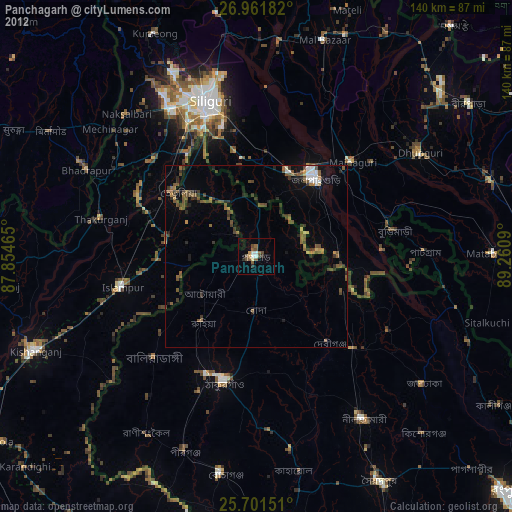
» Earth at Night: Flat Maps 2012, 2016