Bhola night lights from space
Night Light of Bhola (Barisāl) from space (Bangladesh) Src. Average luminocity for 10x10km area is 7.6528% and for 50x50km: 0.8359%.
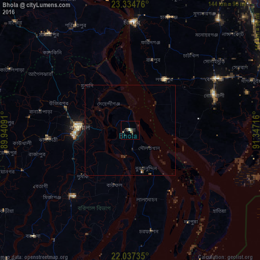
Analysis of Bhola night lights 2016
Square area 10x10 km:
 0.79%
0.79%90-99
0.99%80-89
1.39%70-79
0%60-69
1.39%50-59
1.19%40-49
1.39%30-39
3.17%20-29
0.79%10-19
1.19%0-9
87.7%Square area 50x50 km:
0.05%90-99
0.06%80-89
0.06%70-79
0.01%60-69
0.11%50-59
0.06%40-49
0.15%30-39
0.3%20-29
0.58%10-19
0.69%0-9
97.94%Clear (daylight) street map image can be seen on geolist.org.
Map coordinates:
23° 20' 5.1" North, 89° 56' 27.3" East
22° 41' 15.3" North, 90° 38' 38.5" East
22° 2' 14.5" North, 91° 20' 49.8" East
Some cities around Bhola sort by population:
• Barisāl
28.2 km =17.5 mi,  273°
273°
• Rāipur
41.1 km =25.5 mi,  18°
18°
• Lakshmīpur
34.3 km =21.3 mi,  33°
33°
• Rāmganj
50.5 km =31.4 mi, 24°
• Burhānuddin
22.9 km =14.2 mi,  159°
159°
• Lālmohan
40.1 km =24.9 mi,  166°
166°
• Mehendiganj
19.1 km =11.9 mi,  321°
321°
• Nālchiti
38.6 km =24 mi,  261°
261°
1336136 (p: 99,079)
Sources (retrieved 2019-11-25):
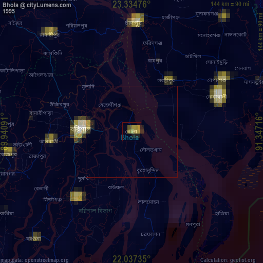
» NASA, Earths city lights 1995
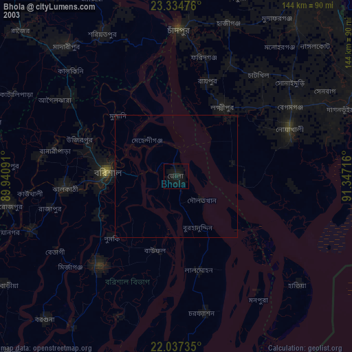
» NASA city lights 2003
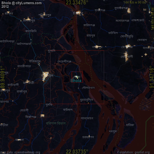
» Earth at Night: Flat Maps 2012, 2016