Bhāndāria night lights from space
Night Light of Bhāndāria (Barisāl) from space (Bangladesh) Src. Average luminocity for 10x10km area is 1.0549% and for 50x50km: 0.533%.
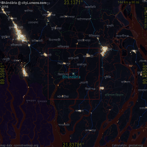
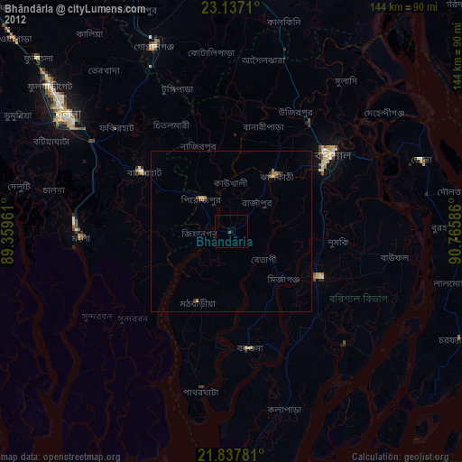
Analysis of Bhāndāria night lights 2016
Square area 10x10 km:
 0%
0%90-99
0%80-89
0%70-79
0%60-69
0.76%50-59
0%40-49
0.76%30-39
0%20-29
0.76%10-19
0%0-9
97.73%Square area 50x50 km:
0%90-99
0%80-89
0.06%70-79
0.03%60-69
0.13%50-59
0.18%40-49
0.18%30-39
0.12%20-29
0.12%10-19
0.08%0-9
99.1%Clear (daylight) street map image can be seen on geolist.org.
Map coordinates:
23° 8' 13.6" North, 89° 21' 34.6" East
22° 29' 20.3" North, 90° 3' 45.8" East
21° 50' 16.1" North, 90° 45' 57.1" East
Some cities around Bhāndāria sort by population:
• Bagerhat
33.5 km =20.8 mi,  303°
303°
• Barisāl
39.7 km =24.7 mi,  52°
52°
• Tungipāra
48.5 km =30.1 mi,  340°
340°
• Pirojpur
13.5 km =8.4 mi,  318°
318°
• Nālchiti
27.1 km =16.8 mi, 52°
• Sarankhola
34.3 km =21.3 mi,  234°
234°
• Morrelgonj
21.6 km =13.4 mi,  260°
260°
• Mathba
25 km =15.5 mi,  205°
205°
1477498 (p: 30,219)
Sources (retrieved 2019-11-25):
» Earth at Night: Flat Maps 2012, 2016