Mymensingh night lights from space
Night Light of Mymensingh (Mymensingh Division) from space (Bangladesh) Src. Average luminocity for 10x10km area is 47.0492% and for 50x50km: 5.5184%.
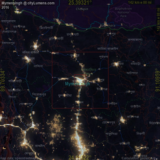
Analysis of Mymensingh night lights 2016
Square area 10x10 km:
 5.87%
5.87%90-99
11.93%80-89
5.87%70-79
5.68%60-69
2.84%50-59
7.58%40-49
9.28%30-39
8.52%20-29
14.58%10-19
26.52%0-9
1.33%Square area 50x50 km:
0.25%90-99
0.54%80-89
0.43%70-79
0.46%60-69
0.46%50-59
0.98%40-49
1.88%30-39
1.44%20-29
2.05%10-19
3.93%0-9
87.58%Clear (daylight) street map image can be seen on geolist.org.
Map coordinates:
25° 23' 35.6" North, 89° 42' 12" East
24° 45' 22.9" North, 90° 24' 23.3" East
24° 6' 58.4" North, 91° 6' 34.5" East
Some cities around Mymensingh sort by population:
• Jamālpur
49.7 km =30.9 mi,  291°
291°
• Sherpur
48.9 km =30.4 mi,  306°
306°
• Kishorganj
51.9 km =32.2 mi,  132°
132°
• Sarishābāri
58.1 km =36.1 mi,  269°
269°
• Netrakona
35.5 km =22.1 mi,  66°
66°
• Sakhipur
54.1 km =33.6 mi,  206°
206°
• Gafargaon
39.2 km =24.4 mi,  156°
156°
• Muktāgācha
15.1 km =9.4 mi, 273°
1185162 (p: 225,126)
Sources (retrieved 2019-11-25):
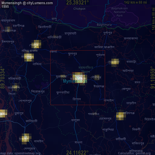
» NASA, Earths city lights 1995
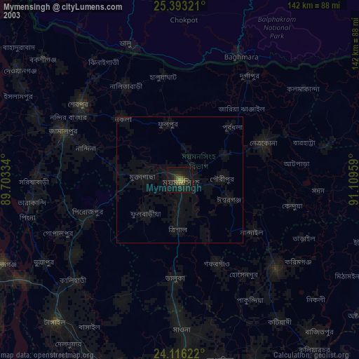
» NASA city lights 2003
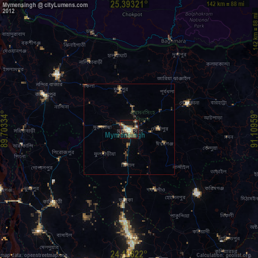
» Earth at Night: Flat Maps 2012, 2016