Kishorganj night lights from space
Night Light of Kishorganj (Dhaka) from space (Bangladesh) Src. Average luminocity for 10x10km area is 20.1647% and for 50x50km: 1.4841%.
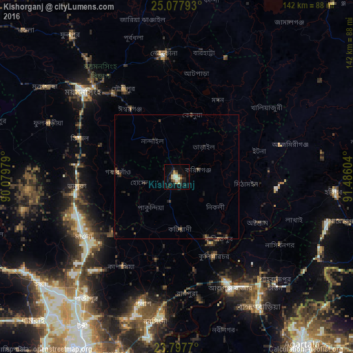
Analysis of Kishorganj night lights 2016
Square area 10x10 km:
 0.6%
0.6%90-99
4.17%80-89
4.76%70-79
1.19%60-69
2.18%50-59
0.6%40-49
2.38%30-39
4.76%20-29
7.94%10-19
9.52%0-9
61.9%Square area 50x50 km:
0.02%90-99
0.17%80-89
0.2%70-79
0.06%60-69
0.14%50-59
0.21%40-49
0.38%30-39
0.48%20-29
0.79%10-19
0.56%0-9
96.99%Clear (daylight) street map image can be seen on geolist.org.
Map coordinates:
25° 4' 40.5" North, 90° 4' 47.2" East
24° 26' 22" North, 90° 46' 58.5" East
23° 47' 51.7" North, 91° 29' 9.7" East
Some cities around Kishorganj sort by population:
• Narsingdi
57.8 km =35.9 mi,  186°
186°
• Mymensingh
51.9 km =32.2 mi,  312°
312°
• Bhairab Bāzār
47.3 km =29.4 mi,  155°
155°
• Netrakona
49.7 km =30.9 mi,  353°
353°
• Sakhipur
63.5 km =39.5 mi,  257°
257°
• Baniachang
58.8 km =36.5 mi,  81°
81°
• Bājitpur
30 km =18.6 mi,  145°
145°
• Gafargaon
22.7 km =14.1 mi,  267°
267°
1337249 (p: 90,690)
Sources (retrieved 2019-11-25):
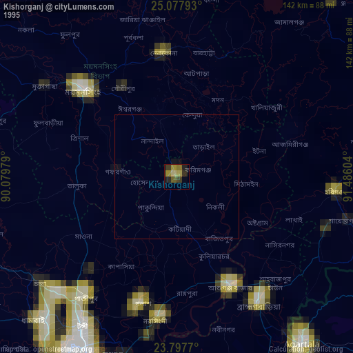
» NASA, Earths city lights 1995
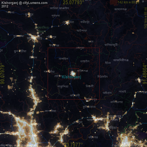
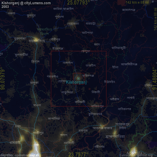
» NASA city lights 2003
» Earth at Night: Flat Maps 2012, 2016