Sarishābāri night lights from space
Night Light of Sarishābāri (Mymensingh Division) from space (Bangladesh) Src. Average luminocity for 10x10km area is 2.6231% and for 50x50km: 1.4257%.
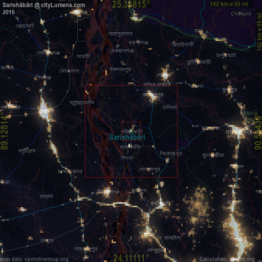
Analysis of Sarishābāri night lights 2016
Square area 10x10 km:
 0%
0%90-99
0%80-89
0%70-79
0%60-69
0.76%50-59
0.76%40-49
0%30-39
3.6%20-29
0.19%10-19
0.76%0-9
93.94%Square area 50x50 km:
0.05%90-99
0.2%80-89
0.13%70-79
0.19%60-69
0.09%50-59
0.23%40-49
0.33%30-39
0.44%20-29
0.42%10-19
0.42%0-9
97.49%Clear (daylight) street map image can be seen on geolist.org.
Map coordinates:
25° 23' 17.3" North, 89° 7' 41.3" East
24° 45' 4.6" North, 89° 49' 52.5" East
24° 6' 40" North, 90° 32' 3.8" East
Some cities around Sarishābāri sort by population:
• Shibganj
58.4 km =36.3 mi,  298°
298°
• Mymensingh
58.1 km =36.1 mi,  89°
89°
• Bogra
47.8 km =29.7 mi,  283°
283°
• Tāngāil
56.4 km =35 mi,  171°
171°
• Jamālpur
22.1 km =13.7 mi,  32°
32°
• Sirajganj
34.9 km =21.7 mi,  200°
200°
• Sherpur
35.2 km =21.9 mi, 32°
• Muktāgācha
43 km =26.7 mi, 87°
1188569 (p: 81,325)
Sources (retrieved 2019-11-25):
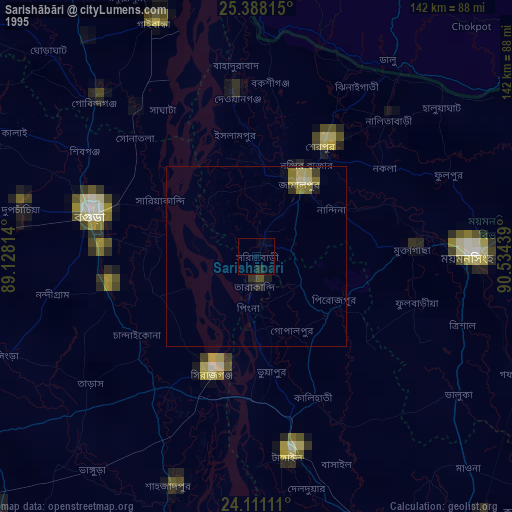
» NASA, Earths city lights 1995
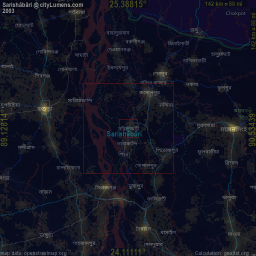
» NASA city lights 2003
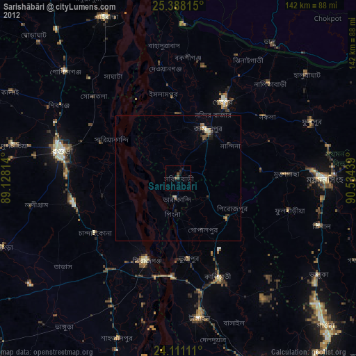
» Earth at Night: Flat Maps 2012, 2016