Netrakona night lights from space
Night Light of Netrakona (Mymensingh Division) from space (Bangladesh) Src. Average luminocity for 10x10km area is 13.5322% and for 50x50km: 1.4586%.
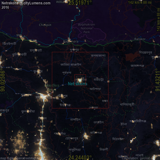
Analysis of Netrakona night lights 2016
Square area 10x10 km:
 0.95%
0.95%90-99
2.08%80-89
0.57%70-79
1.7%60-69
1.33%50-59
3.79%40-49
1.14%30-39
4.36%20-29
4.55%10-19
2.08%0-9
77.46%Square area 50x50 km:
0.04%90-99
0.08%80-89
0.05%70-79
0.1%60-69
0.21%50-59
0.35%40-49
0.36%30-39
0.51%20-29
0.63%10-19
0.52%0-9
97.15%Clear (daylight) street map image can be seen on geolist.org.
Map coordinates:
25° 31' 11" North, 90° 1' 33.1" East
24° 53' 0.7" North, 90° 43' 44.3" East
24° 14' 38.5" North, 91° 25' 55.6" East
Some cities around Netrakona sort by population:
• Mymensingh
35.5 km =22.1 mi,  246°
246°
• Jamālpur
78.9 km =49 mi,  272°
272°
• Sherpur
73.3 km =45.5 mi,  281°
281°
• Kishorganj
49.7 km =30.9 mi,  173°
173°
• Baniachang
75.4 km =46.9 mi,  122°
122°
• Bājitpur
77.5 km =48.2 mi,  163°
163°
• Gafargaon
53.1 km =33 mi,  198°
198°
• Muktāgācha
49.4 km =30.7 mi, 254°
1185116 (p: 79,016)
Sources (retrieved 2019-11-25):
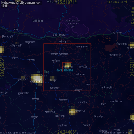
» NASA, Earths city lights 1995
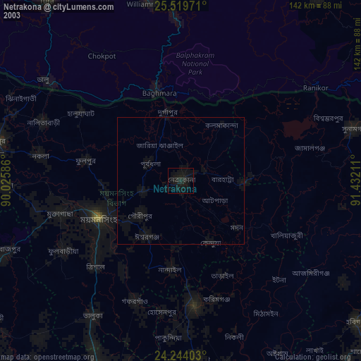
» NASA city lights 2003
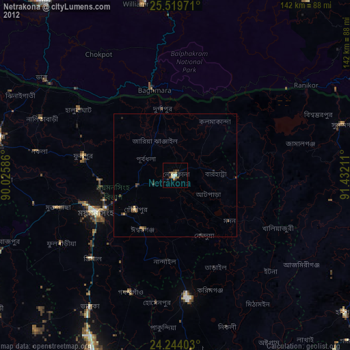
» Earth at Night: Flat Maps 2012, 2016