Chhāgalnāiya night lights from space
Night Light of Chhāgalnāiya (Chittagong) from space (Bangladesh) Src. Average luminocity for 10x10km area is 4.8472% and for 50x50km: 6.3206%.
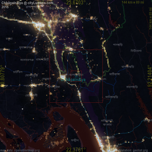
Analysis of Chhāgalnāiya night lights 2016
Square area 10x10 km:
 0%
0%90-99
0%80-89
0%70-79
0%60-69
0%50-59
0.6%40-49
4.56%30-39
0.99%20-29
3.37%10-19
1.39%0-9
89.09%Square area 50x50 km:
0.33%90-99
0.55%80-89
0.32%70-79
0.38%60-69
0.4%50-59
1.11%40-49
2.67%30-39
1.55%20-29
1.96%10-19
4.41%0-9
86.31%Clear (daylight) street map image can be seen on geolist.org.
Map coordinates:
23° 40' 13.1" North, 90° 48' 28" East
23° 1' 29.1" North, 91° 30' 39.3" East
22° 22' 34" North, 92° 12' 50.5" East
Some cities around Chhāgalnāiya sort by population:
• Bibir Hat
47.6 km =29.6 mi,  142°
142°
• Feni
11.8 km =7.3 mi,  264°
264°
• Lākshām
46.5 km =28.9 mi,  301°
301°
• Khagrachhari
47.9 km =29.8 mi,  78°
78°
• Manikchari
39.6 km =24.6 mi,  121°
121°
• Belonia, IN
25.9 km =16.1 mi,  347°
347°
• Sonāmura, IN
56 km =34.8 mi,  333°
333°
• Sabrūm, IN
22 km =13.7 mi,  96°
96°
1185249 (p: 39,335)
Sources (retrieved 2019-11-25):
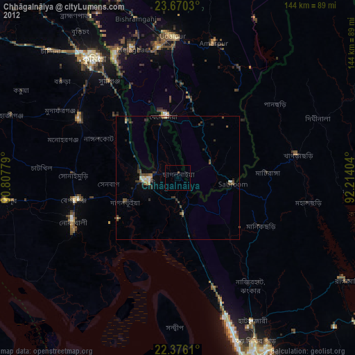
» Earth at Night: Flat Maps 2012, 2016