Manikchari night lights from space
Night Light of Manikchari (Chittagong) from space (Bangladesh) Src. Average luminocity for 10x10km area is 0.0595% and for 50x50km: 0.9636%.
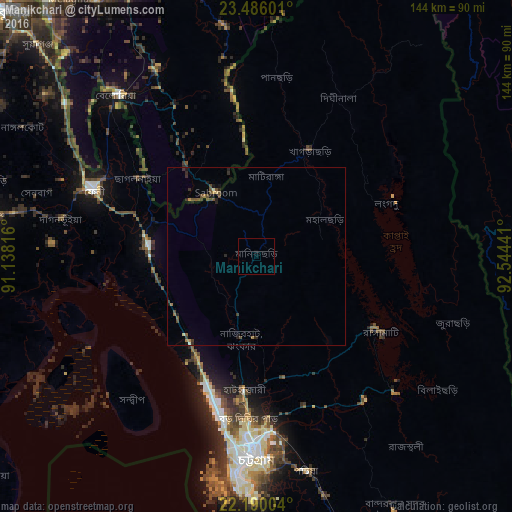
Analysis of Manikchari night lights 2016
Square area 10x10 km:
 0%
0%90-99
0%80-89
0%70-79
0%60-69
0%50-59
0%40-49
0%30-39
0%20-29
0%10-19
0%0-9
100%Square area 50x50 km:
0%90-99
0.05%80-89
0.06%70-79
0.12%60-69
0.13%50-59
0.15%40-49
0.46%30-39
0.27%20-29
0.31%10-19
0.31%0-9
98.15%Clear (daylight) street map image can be seen on geolist.org.
Map coordinates:
23° 29' 9.6" North, 91° 8' 17.4" East
22° 50' 22.5" North, 91° 50' 28.6" East
22° 11' 24.1" North, 92° 32' 39.9" East
Some cities around Manikchari sort by population:
• Chittagong
55.7 km =34.6 mi,  181°
181°
• Bibir Hat
18.1 km =11.2 mi,  196°
196°
• Feni
49.5 km =30.8 mi,  293°
293°
• Sandwīp
53.7 km =33.4 mi,  227°
227°
• Khagrachhari
32.6 km =20.3 mi,  23°
23°
• Chhāgalnāiya
39.6 km =24.6 mi,  301°
301°
• Raojān
34.8 km =21.6 mi,  166°
166°
• Sabrūm, IN
21.6 km =13.4 mi,  326°
326°
1462681 (p: 24,813)
Sources (retrieved 2019-11-25):
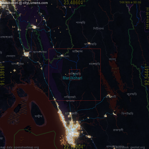
» Earth at Night: Flat Maps 2012, 2016