Bibir Hat night lights from space
Night Light of Bibir Hat (Chittagong) from space (Bangladesh) Src. Average luminocity for 10x10km area is 0.4028% and for 50x50km: 4.0935%.
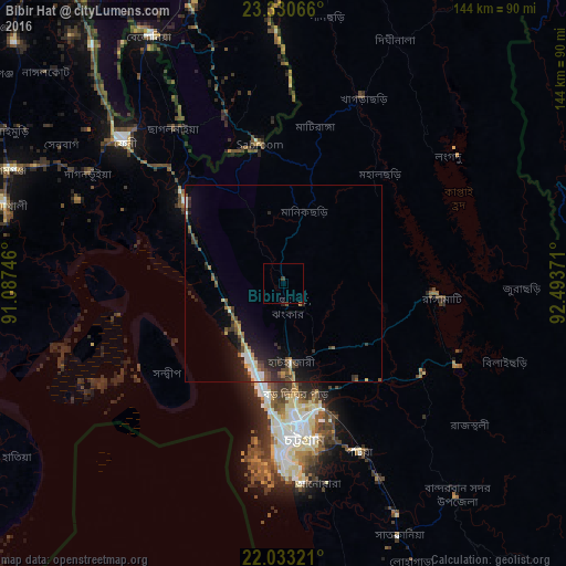

Analysis of Bibir Hat night lights 2016
Square area 10x10 km:
 0%
0%90-99
0%80-89
0%70-79
0%60-69
0%50-59
0%40-49
0%30-39
0.79%20-29
0%10-19
0%0-9
99.21%Square area 50x50 km:
0.38%90-99
0.59%80-89
0.32%70-79
0.36%60-69
0.47%50-59
0.67%40-49
0.83%30-39
0.93%20-29
1.32%10-19
3.18%0-9
90.96%Clear (daylight) street map image can be seen on geolist.org.
Map coordinates:
23° 19' 50.4" North, 91° 5' 14.9" East
22° 41' 0.5" North, 91° 47' 26.1" East
22° 1' 59.6" North, 92° 29' 37.4" East
Some cities around Bibir Hat sort by population:
• Chittagong
38.6 km =24 mi,  173°
173°
• Sandwīp
39.3 km =24.4 mi,  241°
241°
• Patiya
47.3 km =29.4 mi,  155°
155°
• Khagrachhari
50.6 km =31.4 mi,  21°
21°
• Chhāgalnāiya
47.6 km =29.6 mi,  322°
322°
• Raojān
21.1 km =13.1 mi,  141°
141°
• Manikchari
18.1 km =11.2 mi, 16°
• Sabrūm, IN
36 km =22.4 mi,  349°
349°
6414184 (p: 89,030)
Sources (retrieved 2019-11-25):
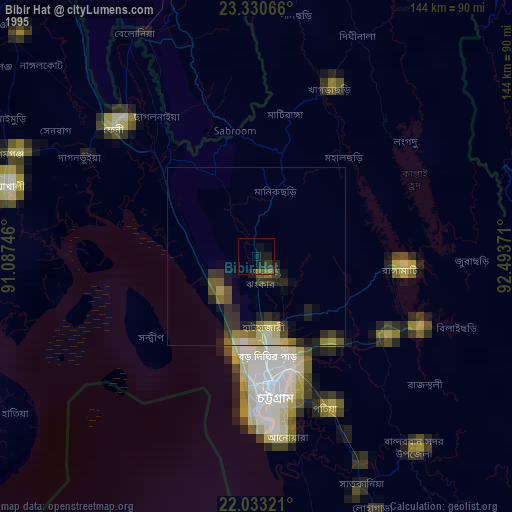
» NASA, Earths city lights 1995
» NASA city lights 2003
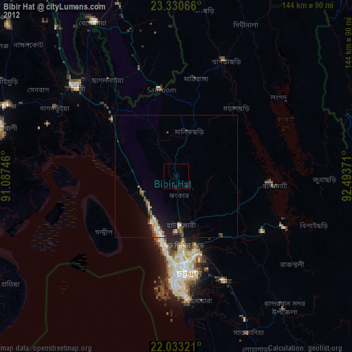
» Earth at Night: Flat Maps 2012, 2016