Lākshām night lights from space
Night Light of Lākshām (Chittagong) from space (Bangladesh) Src. Average luminocity for 10x10km area is 12.7462% and for 50x50km: 9.2243%.
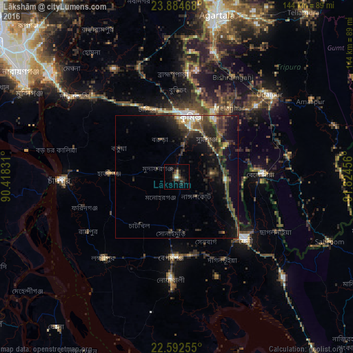
Analysis of Lākshām night lights 2016
Square area 10x10 km:
 1.14%
1.14%90-99
0.38%80-89
2.65%70-79
0.38%60-69
0.76%50-59
0.38%40-49
3.6%30-39
4.92%20-29
6.82%10-19
5.3%0-9
73.67%Square area 50x50 km:
0.41%90-99
1%80-89
0.84%70-79
0.79%60-69
0.67%50-59
1.09%40-49
3.38%30-39
3.01%20-29
4.38%10-19
7.31%0-9
77.12%Clear (daylight) street map image can be seen on geolist.org.
Map coordinates:
23° 53' 4.8" North, 90° 25' 5.9" East
23° 14' 24.6" North, 91° 7' 17.1" East
22° 35' 33.2" North, 91° 49' 28.4" East
Some cities around Lākshām sort by population:
• Comilla
25.5 km =15.8 mi,  14°
14°
• Feni
37.7 km =23.4 mi,  131°
131°
• Rāipur
42.5 km =26.4 mi,  238°
238°
• Rāmganj
31.8 km =19.8 mi, 240°
• Hājīganj
27.2 km =16.9 mi,  272°
272°
• Chhāgalnāiya
46.5 km =28.9 mi,  121°
121°
• Belonia, IN
34 km =21.1 mi,  87°
87°
• Sonāmura, IN
30 km =18.6 mi,  29°
29°
1185183 (p: 82,290)
Sources (retrieved 2019-11-25):
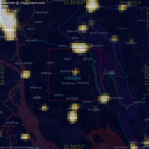
» NASA, Earths city lights 1995
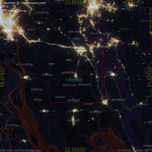
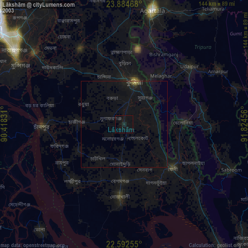
» NASA city lights 2003
» Earth at Night: Flat Maps 2012, 2016