Bherāmāra night lights from space
Night Light of Bherāmāra (Khulna) from space (Bangladesh) Src. Average luminocity for 10x10km area is 23.8902% and for 50x50km: 9.0286%.
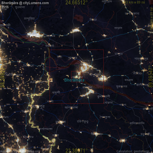
Analysis of Bherāmāra night lights 2016
Square area 10x10 km:
 0.38%
0.38%90-99
3.03%80-89
3.6%70-79
4.73%60-69
1.7%50-59
5.11%40-49
4.17%30-39
5.49%20-29
7.95%10-19
16.86%0-9
46.97%Square area 50x50 km:
0.31%90-99
1.69%80-89
0.98%70-79
1.04%60-69
0.99%50-59
1.22%40-49
1.66%30-39
1.86%20-29
2.7%10-19
8.18%0-9
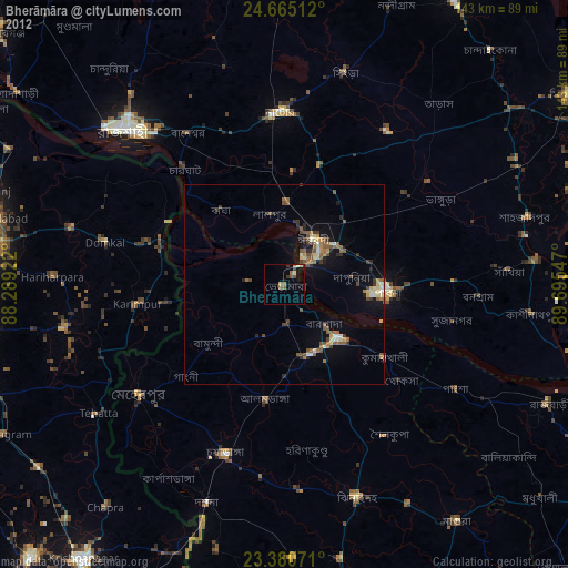
79.38%Clear (daylight) street map image can be seen on geolist.org.
Map coordinates:
24° 39' 54.4" North, 88° 17' 21.2" East
24° 1' 28.3" North, 88° 59' 32.4" East
23° 22' 50.6" North, 89° 41' 43.7" East
Some cities around Bherāmāra sort by population:
• Rājshāhi
55.5 km =34.5 mi,  314°
314°
• Natore
43 km =26.7 mi,  359°
359°
• Pābna
25 km =15.5 mi,  94°
94°
• Puthia
41.1 km =25.5 mi,  337°
337°
• Kushtia
18.7 km =11.6 mi,  136°
136°
• Ishurdi
13.8 km =8.6 mi,  32°
32°
• Debīpur, IN
45.5 km =28.3 mi,  303°
303°
• Karīmpur, IN
38.3 km =23.8 mi,  261°
261°
1185262 (p: 38,159)
Sources (retrieved 2019-11-25):
» Earth at Night: Flat Maps 2012, 2016