Sokolac night lights from space
Night Light of Sokolac (Srpska) from space (Bosnia and Herzegovina) Src. Average luminocity for 10x10km area is 4.1762% and for 50x50km: 0.7774%.
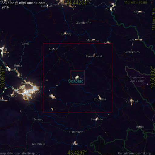
Analysis of Sokolac night lights 2016
Square area 10x10 km:
 0.48%
0.48%90-99
0.48%80-89
0.95%70-79
0%60-69
0.48%50-59
0.32%40-49
0.48%30-39
1.9%20-29
1.59%10-19
0.32%0-9
93.02%Square area 50x50 km:
0.07%90-99
0.08%80-89
0.09%70-79
0.05%60-69
0.13%50-59
0.15%40-49
0.18%30-39
0.21%20-29
0.17%10-19
0.06%0-9
98.8%Clear (daylight) street map image can be seen on geolist.org.
Map coordinates:
44° 26' 32.4" North, 18° 5' 51.6" East
43° 56' 17.4" North, 18° 48' 2.8" East
43° 25' 46.9" North, 19° 30' 14.1" East
Some cities around Sokolac sort by population:
• Sarajevo
37 km =23 mi,  254°
254°
• Goražde
33.2 km =20.6 mi,  154°
154°
• Milići
34.7 km =21.6 mi,  42°
42°
• Vogošća
36.8 km =22.9 mi,  263°
263°
• Pale
22.9 km =14.2 mi,  233°
233°
• Kladanj
33.2 km =20.6 mi,  344°
344°
• Šekovići
40.4 km =25.1 mi,  6°
6°
• Ilijaš
42.4 km =26.3 mi,  271°
271°
3190385 (p: 8,842)
Sources (retrieved 2019-11-25):
» Earth at Night: Flat Maps 2012, 2016