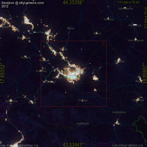
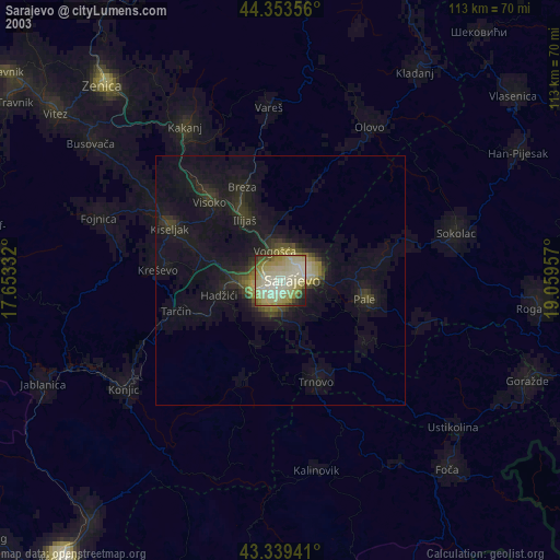
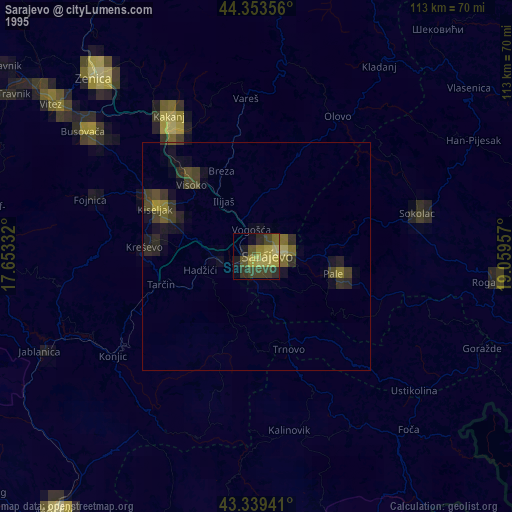
Sarajevo night lights from space
Night Light of Sarajevo (Federation of B&H) from space (Bosnia and Herzegovina) Src. Average luminocity for 10x10km area is 66.8048% and for 50x50km: 6.5112%.
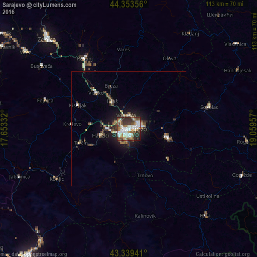
Analysis of Sarajevo night lights 2016
Square area 10x10 km:
 17.78%
90-99
18.41%80-89
5.08%70-79
7.78%60-69
6.98%50-59
8.89%40-49
10.63%30-39
12.22%20-29
11.11%10-19
1.11%0-9
0%Square area 50x50 km:
0.9%90-99
1.14%80-89
0.6%70-79
0.69%60-69
0.7%50-59
0.76%40-49
1.15%30-39
1.35%20-29
1.77%10-19
3.93%0-9
87.03%Clear (daylight) street map image can be seen on geolist.org.
Map coordinates:
44° 21' 12.8" North, 17° 39' 12" East
43° 50' 55.1" North, 18° 21' 23.2" East
43° 20' 21.9" North, 19° 3' 34.5" East
Some cities around Sarajevo sort by population:
• Visoko
21.1 km =13.1 mi,  317°
317°
• Kiseljak
24.4 km =15.2 mi,  295°
295°
• Vogošća
6 km =3.7 mi,  350°
350°
• Pale
17.5 km =10.9 mi,  101°
101°
• Hadžići
12.4 km =7.7 mi,  256°
256°
• Gromiljak
27.5 km =17.1 mi, 298°
• Ilijaš
13.3 km =8.3 mi,  329°
329°
• Mahala
19.9 km =12.4 mi,  335°
335°
3191281 (p: 696,731)
Sources (retrieved 2019-11-25):
» NASA, Earths city lights 1995
» NASA city lights 2003
» Earth at Night: Flat Maps 2012, 2016