Milići night lights from space
Night Light of Milići (Srpska) from space (Bosnia and Herzegovina) Src. Average luminocity for 10x10km area is 0.847% and for 50x50km: 0.5482%.
Analysis of Milići night lights 2016
Square area 10x10 km:
 0%
0%90-99
0%80-89
0%70-79
0%60-69
1.21%50-59
0%40-49
0%30-39
0%20-29
0%10-19
0%0-9
98.79%Square area 50x50 km:
0.06%90-99
0.07%80-89
0.04%70-79
0.04%60-69
0.11%50-59
0.09%40-49
0.17%30-39
0.14%20-29
0.12%10-19
0.06%0-9
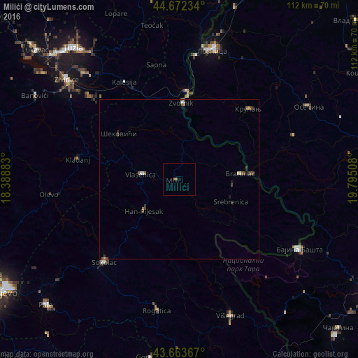
99.1%Clear (daylight) street map image can be seen on geolist.org.
Map coordinates:
44° 40' 20.4" North, 18° 23' 19.8" East
44° 10' 12.6" North, 19° 5' 31" East
43° 39' 49.2" North, 19° 47' 42.3" East
Some cities around Milići sort by population:
• Živinice
46.9 km =29.1 mi,  311°
311°
• Sokolac
34.7 km =21.6 mi,  222°
222°
• Bajina Bašta, RS
44 km =27.3 mi,  120°
120°
• Zvornik
24 km =14.9 mi,  1°
1°
• Kladanj
32.4 km =20.1 mi,  281°
281°
• Tojšići
44.2 km =27.5 mi,  326°
326°
• Šekovići
23.7 km =14.7 mi, 307°
• Višegrad
46 km =28.6 mi,  159°
159°
3195128 (p: 8,210)
Sources (retrieved 2019-11-25):
» Earth at Night: Flat Maps 2012, 2016