Goražde night lights from space
Night Light of Goražde (Federation of B&H) from space (Bosnia and Herzegovina) Src. Average luminocity for 10x10km area is 2.4409% and for 50x50km: 0.3561%.
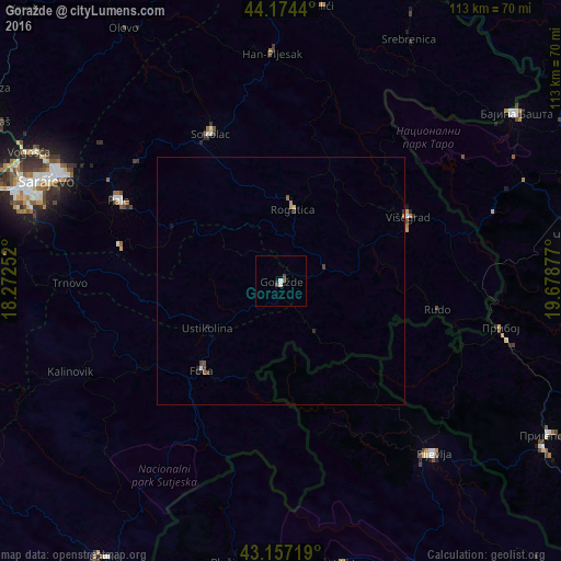
Analysis of Goražde night lights 2016
Square area 10x10 km:
 0.61%
0.61%90-99
0.61%80-89
0%70-79
0%60-69
0%50-59
0.61%40-49
1.21%30-39
0%20-29
0%10-19
0.61%0-9
96.36%Square area 50x50 km:
0.03%90-99
0.04%80-89
0.02%70-79
0.04%60-69
0.04%50-59
0.1%40-49
0.11%30-39
0.07%20-29
0.07%10-19
0.08%0-9
99.38%Clear (daylight) street map image can be seen on geolist.org.
Map coordinates:
44° 10' 27.8" North, 18° 16' 21.1" East
43° 40' 4.6" North, 18° 58' 32.3" East
43° 9' 25.9" North, 19° 40' 43.6" East
Some cities around Goražde sort by population:
• Sarajevo
53.6 km =33.3 mi,  291°
291°
• Pljevlja, ME
46.4 km =28.8 mi,  138°
138°
• Foča
24 km =14.9 mi,  221°
221°
• Sokolac
33.2 km =20.6 mi,  334°
334°
• Milići
56.6 km =35.2 mi,  9°
9°
• Vogošća
57 km =35.4 mi,  297°
297°
• Pale
36.6 km =22.7 mi, 296°
• Višegrad
28.5 km =17.7 mi,  63°
63°
3200396 (p: 17,650)
Sources (retrieved 2019-11-25):
» Earth at Night: Flat Maps 2012, 2016