Vogošća night lights from space
Night Light of Vogošća (Federation of B&H) from space (Bosnia and Herzegovina) Src. Average luminocity for 10x10km area is 32.3587% and for 50x50km: 7.0028%.
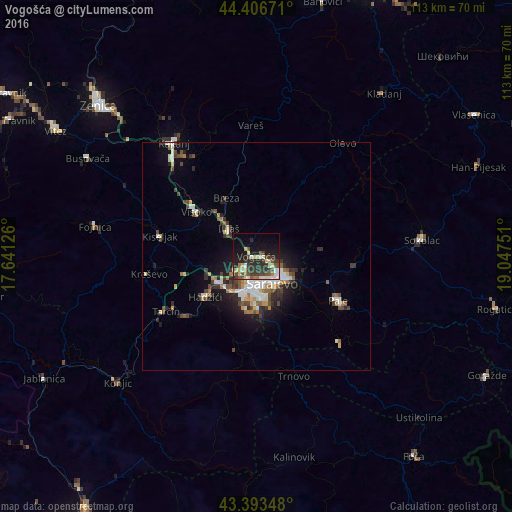
Analysis of Vogošća night lights 2016
Square area 10x10 km:
 2.54%
2.54%90-99
4.92%80-89
5.24%70-79
3.49%60-69
3.02%50-59
3.17%40-49
7.14%30-39
12.22%20-29
10.32%10-19
22.38%0-9
25.56%Square area 50x50 km:
0.94%90-99
1.25%80-89
0.66%70-79
0.71%60-69
0.72%50-59
0.85%40-49
1.28%30-39
1.41%20-29
1.85%10-19
4.15%0-9
86.18%Clear (daylight) street map image can be seen on geolist.org.
Map coordinates:
44° 24' 24.2" North, 17° 38' 28.5" East
43° 54' 8.1" North, 18° 20' 39.8" East
43° 23' 36.5" North, 19° 2' 51" East
Some cities around Vogošća sort by population:
• Sarajevo
6 km =3.7 mi,  170°
170°
• Visoko
16.4 km =10.2 mi,  305°
305°
• Kiseljak
21.5 km =13.4 mi,  282°
282°
• Pale
20.4 km =12.7 mi,  117°
117°
• Hadžići
14.2 km =8.8 mi,  231°
231°
• Gromiljak
24.3 km =15.1 mi,  287°
287°
• Ilijaš
8 km =5 mi, 312°
• Mahala
14.1 km =8.8 mi,  329°
329°
3187464 (p: 8,180)
Sources (retrieved 2019-11-25):
» Earth at Night: Flat Maps 2012, 2016