Mionica night lights from space
Night Light of Mionica (Federation of B&H) from space (Bosnia and Herzegovina) Src. Average luminocity for 10x10km area is 3.546% and for 50x50km: 3.3855%.
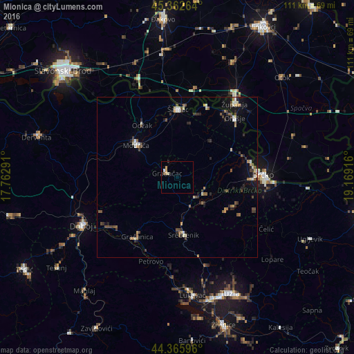
Analysis of Mionica night lights 2016
Square area 10x10 km:
 0.32%
0.32%90-99
0.95%80-89
0.63%70-79
1.27%60-69
0%50-59
0.32%40-49
0.32%30-39
0%20-29
0.32%10-19
0.16%0-9
95.71%Square area 50x50 km:
0.22%90-99
0.5%80-89
0.3%70-79
0.38%60-69
0.48%50-59
0.6%40-49
0.6%30-39
0.6%20-29
0.71%10-19
1.56%0-9
94.06%Clear (daylight) street map image can be seen on geolist.org.
Map coordinates:
45° 21' 45.5" North, 17° 45' 46.5" East
44° 51' 59.3" North, 18° 27' 57.7" East
44° 21' 57.5" North, 19° 10' 9" East
Some cities around Mionica sort by population:
• Brčko
27.1 km =16.8 mi,  89°
89°
• Gračanica
21.9 km =13.6 mi,  214°
214°
• Gradačac
3.3 km =2.1 mi,  293°
293°
• Županja, HR
29.7 km =18.5 mi,  37°
37°
• Odžak
21 km =13 mi,  327°
327°
• Srebrenik
17.7 km =11 mi,  174°
174°
• Orahovica Donja
24.9 km =15.5 mi,  197°
197°
• Donja Mahala
25.4 km =15.8 mi, 39°
3195066 (p: 8,701)
Sources (retrieved 2019-11-25):
» Earth at Night: Flat Maps 2012, 2016