Brčko night lights from space
Night Light of Brčko from space (Bosnia and Herzegovina) Src. Average luminocity for 10x10km area is 30.2603% and for 50x50km: 3.5372%.
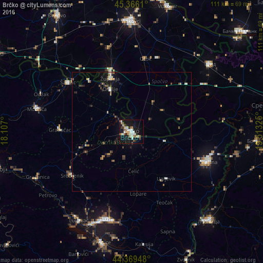
Analysis of Brčko night lights 2016
Square area 10x10 km:
 4.29%
4.29%90-99
7.78%80-89
2.86%70-79
3.02%60-69
3.49%50-59
5.4%40-49
1.59%30-39
1.9%20-29
2.22%10-19
40%0-9
27.46%Square area 50x50 km:
0.3%90-99
0.57%80-89
0.34%70-79
0.34%60-69
0.51%50-59
0.58%40-49
0.42%30-39
0.49%20-29
0.71%10-19
2.8%0-9
92.95%Clear (daylight) street map image can be seen on geolist.org.
Map coordinates:
45° 21' 58" North, 18° 6' 25.2" East
44° 52' 11.8" North, 18° 48' 36.4" East
44° 22' 10.1" North, 19° 30' 47.7" East
Some cities around Brčko sort by population:
• Gradačac
30.2 km =18.8 mi,  271°
271°
• Županja, HR
24.7 km =15.3 mi,  339°
339°
• Mionica
27.1 km =16.8 mi, 269°
• Srebrenik
31.1 km =19.3 mi,  234°
234°
• Otok, HR
31.3 km =19.4 mi,  10°
10°
• Donja Mahala
22.2 km =13.8 mi,  330°
330°
• Velika Obarska
28.7 km =17.8 mi,  104°
104°
• Gunja, HR
3.6 km =2.2 mi,  71°
71°
3203521 (p: 38,968)
Sources (retrieved 2019-11-25):
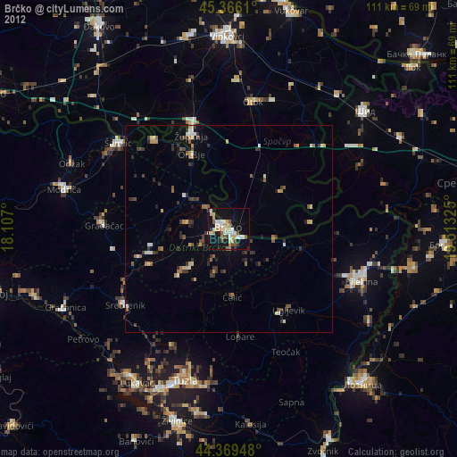
» Earth at Night: Flat Maps 2012, 2016