Gračanica night lights from space
Night Light of Gračanica (Federation of B&H) from space (Bosnia and Herzegovina) Src. Average luminocity for 10x10km area is 4.0182% and for 50x50km: 3.136%.
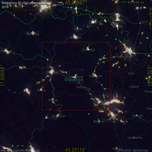
Analysis of Gračanica night lights 2016
Square area 10x10 km:
 0%
0%90-99
0.61%80-89
0%70-79
0.76%60-69
1.97%50-59
0.3%40-49
1.06%30-39
0.61%20-29
0.15%10-19
0.76%0-9
93.79%Square area 50x50 km:
0.21%90-99
0.32%80-89
0.24%70-79
0.21%60-69
0.5%50-59
0.66%40-49
0.82%30-39
0.46%20-29
0.75%10-19
2.42%0-9
93.4%Clear (daylight) street map image can be seen on geolist.org.
Map coordinates:
45° 12' 2.4" North, 17° 36' 25.1" East
44° 42' 11.1" North, 18° 18' 36.4" East
44° 12' 4.2" North, 19° 0' 47.6" East
Some cities around Gračanica sort by population:
• Doboj
17.9 km =11.1 mi,  280°
280°
• Gradačac
21.6 km =13.4 mi,  25°
25°
• Mionica
21.9 km =13.6 mi, 34°
• Tešanj
27.6 km =17.1 mi,  248°
248°
• Maglaj
24 km =14.9 mi,  223°
223°
• Srebrenik
14.1 km =8.8 mi,  87°
87°
• Tešanjka
23.9 km =14.9 mi,  261°
261°
• Orahovica Donja
7.2 km =4.5 mi,  139°
139°
3199779 (p: 15,758)
Sources (retrieved 2019-11-25):
» Earth at Night: Flat Maps 2012, 2016