Foča night lights from space
Night Light of Foča (Srpska) from space (Bosnia and Herzegovina) Src. Average luminocity for 10x10km area is 2.6683% and for 50x50km: 0.2481%.
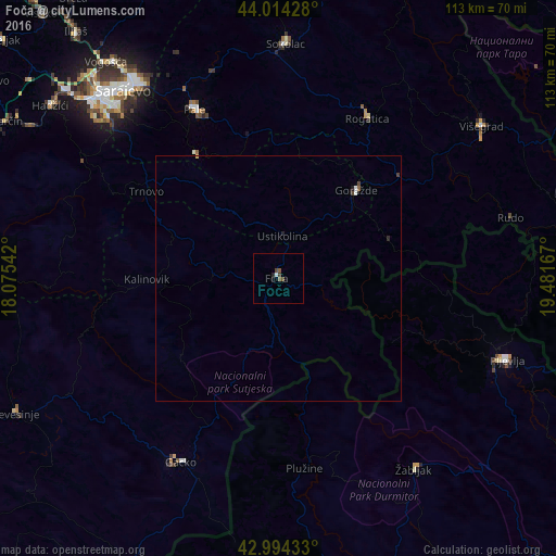
Analysis of Foča night lights 2016
Square area 10x10 km:
 0.16%
0.16%90-99
0.48%80-89
0%70-79
0%60-69
0%50-59
1.59%40-49
0.95%30-39
0.63%20-29
0.48%10-19
0.79%0-9
94.92%Square area 50x50 km:
0.03%90-99
0.04%80-89
0.02%70-79
0%60-69
0%50-59
0.09%40-49
0.11%30-39
0.02%20-29
0.07%10-19
0.06%0-9
99.56%Clear (daylight) street map image can be seen on geolist.org.
Map coordinates:
44° 0' 51.4" North, 18° 4' 31.5" East
43° 30' 23.3" North, 18° 46' 42.7" East
42° 59' 39.6" North, 19° 28' 54" East
Some cities around Foča sort by population:
• Sarajevo
51 km =31.7 mi,  318°
318°
• Pljevlja, ME
49.7 km =30.9 mi,  109°
109°
• Goražde
24 km =14.9 mi,  41°
41°
• Sokolac
48 km =29.8 mi,  2°
2°
• Pale
38.4 km =23.9 mi,  334°
334°
• Višegrad
51.5 km =32 mi,  53°
53°
• Žabljak, ME
48.1 km =29.9 mi,  144°
144°
• Plužine, ME
39.6 km =24.6 mi,  172°
172°
3200837 (p: 14,615)
Sources (retrieved 2019-11-25):
» Earth at Night: Flat Maps 2012, 2016