Yelenendorf night lights from space
Night Light of Yelenendorf (Goygol Rayon) from space (Azerbaijan) Src. Average luminocity for 10x10km area is 13.6688% and for 50x50km: 5.4589%.
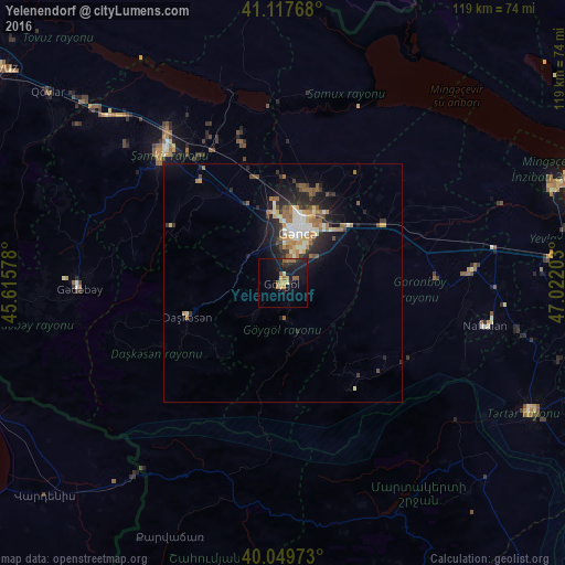
Analysis of Yelenendorf night lights 2016
Square area 10x10 km:
 0%
0%90-99
0%80-89
1.95%70-79
3.25%60-69
1.14%50-59
5.03%40-49
0.32%30-39
0%20-29
4.87%10-19
17.86%0-9
65.58%Square area 50x50 km:
0.59%90-99
0.73%80-89
0.63%70-79
0.78%60-69
0.88%50-59
1.06%40-49
0.64%30-39
0.59%20-29
1.92%10-19
3.55%0-9
88.63%Clear (daylight) street map image can be seen on geolist.org.
Map coordinates:
41° 7' 3.6" North, 45° 36' 56.8" East
40° 35' 9" North, 46° 19' 8" East
40° 2' 59" North, 47° 1' 19.3" East
Some cities around Yelenendorf sort by population:
• Ganja
11.3 km =7 mi,  18°
18°
• Shamkhor
37.1 km =23.1 mi,  316°
316°
• Yukhary-Dashkesan
21.2 km =13.2 mi,  251°
251°
• Kyadabek
42.8 km =26.6 mi,  267°
267°
• Goranboy
39.8 km =24.7 mi,  86°
86°
• Naftalan
43.2 km =26.8 mi,  101°
101°
• Samux
21.3 km =13.2 mi, 20°
• Qarayeri
22.3 km =13.9 mi,  358°
358°
584716 (p: 17,816)
Sources (retrieved 2019-11-25):
» Earth at Night: Flat Maps 2012, 2016