Samux night lights from space
Night Light of Samux from space (Azerbaijan) Src. Average luminocity for 10x10km area is 17.0195% and for 50x50km: 5.5172%.
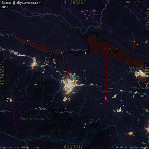
Analysis of Samux night lights 2016
Square area 10x10 km:
 0.81%
0.81%90-99
0.49%80-89
0.65%70-79
1.46%60-69
1.3%50-59
6.17%40-49
4.87%30-39
3.57%20-29
11.69%10-19
14.61%0-9
54.38%Square area 50x50 km:
0.59%90-99
0.68%80-89
0.6%70-79
0.75%60-69
0.85%50-59
1.12%40-49
0.79%30-39
0.73%20-29
2.03%10-19
3.56%0-9
88.29%Clear (daylight) street map image can be seen on geolist.org.
Map coordinates:
41° 17' 42.9" North, 45° 42' 20" East
40° 45' 53.5" North, 46° 24' 31.2" East
40° 13' 48.6" North, 47° 6' 42.5" East
Some cities around Samux sort by population:
• Ganja
10 km =6.2 mi,  203°
203°
• Shamkhor
33.7 km =20.9 mi,  282°
282°
• Yelenendorf
21.3 km =13.2 mi, 200°
• Yukhary-Dashkesan
38.4 km =23.9 mi,  225°
225°
• Goranboy
36.4 km =22.6 mi,  118°
118°
• Naftalan
45 km =28 mi,  129°
129°
• Qızılhacılı
43.2 km =26.8 mi, 118°
• Qarayeri
8.4 km =5.2 mi,  286°
286°
585177 (p: 6,013)
Sources (retrieved 2019-11-25):
» Earth at Night: Flat Maps 2012, 2016