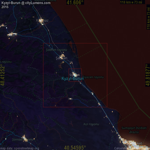
Kyzyl-Burun night lights from space
Night Light of Kyzyl-Burun (Siyǝzǝn) from space (Azerbaijan) Src. Average luminocity for 10x10km area is 8.1981% and for 50x50km: 0.8546%.
Analysis of Kyzyl-Burun night lights 2016
Square area 10x10 km:
 0.81%
0.81%90-99
2.27%80-89
0.16%70-79
1.95%60-69
0.32%50-59
0.97%40-49
0%30-39
1.46%20-29
2.44%10-19
0%0-9
89.61%Square area 50x50 km:
0.03%90-99
0.14%80-89
0.06%70-79
0.12%60-69
0.12%50-59
0.15%40-49
0.17%30-39
0.23%20-29
0.27%10-19
0.11%0-9
98.6%Clear (daylight) street map image can be seen on geolist.org.
Map coordinates:
41° 36' 21.6" North, 48° 24' 45.1" East
41° 4' 41.2" North, 49° 6' 56.3" East
40° 32' 45.4" North, 49° 49' 7.6" East
Some cities around Kyzyl-Burun sort by population:
• Xaçmaz
50.1 km =31.1 mi,  328°
328°
• Shamakhi
63.7 km =39.6 mi,  218°
218°
• Divichibazar
17.4 km =10.8 mi,  321°
321°
• Quba
59.4 km =36.9 mi,  301°
301°
• Hacı Zeynalabdin
62.8 km =39 mi,  143°
143°
• Qusar
69.2 km =43 mi, 304°
• Qobustan
62.6 km =38.9 mi,  194°
194°
• Khyzy
19.2 km =11.9 mi, 190°
584954 (p: 3)
Sources (retrieved 2019-11-25):
» Earth at Night: Flat Maps 2012, 2016