Sabunçu night lights from space
Night Light of Sabunçu (Baki) from space (Azerbaijan) Src. Average luminocity for 10x10km area is 86.682% and for 50x50km: 37.2525%.
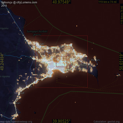
Analysis of Sabunçu night lights 2016
Square area 10x10 km:
 26.02%
90-99
27.04%80-89
13.61%70-79
19.22%60-69
9.86%50-59
2.72%40-49
1.53%30-39
0%20-29
0%10-19
0%0-9
0%Square area 50x50 km:
6.32%90-99
7.05%80-89
5.88%70-79
5.59%60-69
6.6%50-59
5.07%40-49
4.62%30-39
5.52%20-29
7.1%10-19
12.24%0-9
34.01%Clear (daylight) street map image can be seen on geolist.org.
Map coordinates:
40° 58' 31.8" North, 49° 14' 41.8" East
40° 26' 33" North, 49° 56' 53" East
39° 54' 18.9" North, 50° 39' 4.3" East
Some cities around Sabunçu sort by population:
• Baku
8.6 km =5.3 mi,  213°
213°
• Qaraçuxur
5.5 km =3.4 mi,  157°
157°
• Bakıxanov
3.1 km =1.9 mi,  148°
148°
• Amirdzhan
3.5 km =2.2 mi,  120°
120°
• Zabrat
3.9 km =2.4 mi,  352°
352°
• Yeni Suraxanı
7.6 km =4.7 mi,  100°
100°
• Balakhani
3.4 km =2.1 mi,  313°
313°
• Ramana
2.8 km =1.7 mi,  90°
90°
585184 (p: 20,996)
Sources (retrieved 2019-11-25):
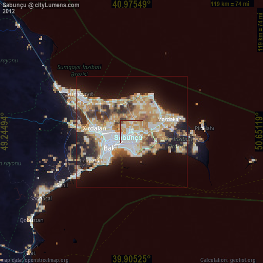
» Earth at Night: Flat Maps 2012, 2016