Ramana night lights from space
Night Light of Ramana (Baki) from space (Azerbaijan) Src. Average luminocity for 10x10km area is 82.1361% and for 50x50km: 35.4383%.
Analysis of Ramana night lights 2016
Square area 10x10 km:
 19.05%
90-99
20.75%80-89
18.2%70-79
17.18%60-69
15.82%50-59
6.8%40-49
1.87%30-39
0.34%20-29
0%10-19
0%0-9
0%Square area 50x50 km:
5.98%90-99
6.7%80-89
5.6%70-79
5.25%60-69
6.34%50-59
4.79%40-49
4.55%30-39
5.39%20-29
6.33%10-19
11.73%0-9
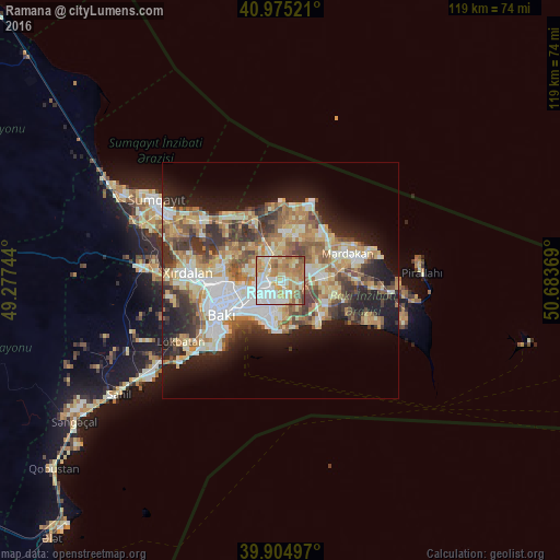
37.33%Clear (daylight) street map image can be seen on geolist.org.
Map coordinates:
40° 58' 30.8" North, 49° 16' 38.8" East
40° 26' 32" North, 49° 58' 50" East
39° 54' 17.9" North, 50° 41' 1.3" East
Some cities around Ramana sort by population:
• Qaraçuxur
5.1 km =3.2 mi,  186°
186°
• Bakıxanov
2.8 km =1.7 mi,  204°
204°
• Amirdzhan
1.8 km =1.1 mi,  171°
171°
• Biny Selo
9 km =5.6 mi,  83°
83°
• Zabrat
5.1 km =3.2 mi,  320°
320°
• Sabunçu
2.8 km =1.7 mi,  270°
270°
• Yeni Suraxanı
4.9 km =3 mi,  105°
105°
• Balakhani
5.7 km =3.5 mi,  294°
294°
863732 (p: 8,855)
Sources (retrieved 2019-11-25):
» Earth at Night: Flat Maps 2012, 2016