Bakıxanov night lights from space
Night Light of Bakıxanov (Baki) from space (Azerbaijan) Src. Average luminocity for 10x10km area is 88.7041% and for 50x50km: 36.2589%.
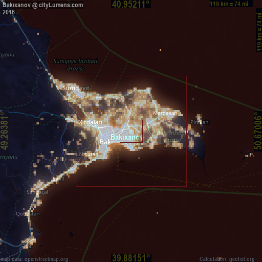
Analysis of Bakıxanov night lights 2016
Square area 10x10 km:
 34.52%
90-99
25.34%80-89
12.59%70-79
15.48%60-69
8.33%50-59
2.55%40-49
1.19%30-39
0%20-29
0%10-19
0%0-9
0%Square area 50x50 km:
6.18%90-99
6.84%80-89
5.68%70-79
5.3%60-69
6.42%50-59
5.01%40-49
4.61%30-39
5.5%20-29
6.75%10-19
12.24%0-9
35.48%Clear (daylight) street map image can be seen on geolist.org.
Map coordinates:
40° 57' 7.6" North, 49° 15' 49.7" East
40° 25' 8.2" North, 49° 58' 0.9" East
39° 52' 53.4" North, 50° 40' 12.2" East
Some cities around Bakıxanov sort by population:
• Baku
7.8 km =4.8 mi,  234°
234°
• Qaraçuxur
2.5 km =1.6 mi,  167°
167°
• Amirdzhan
1.6 km =1 mi,  59°
59°
• Zabrat
6.8 km =4.2 mi,  341°
341°
• Sabunçu
3.1 km =1.9 mi,  328°
328°
• Yeni Suraxanı
6 km =3.7 mi,  77°
77°
• Balakhani
6.4 km =4 mi,  320°
320°
• Ramana
2.8 km =1.7 mi,  24°
24°
824003 (p: 66,686)
Sources (retrieved 2019-11-25):
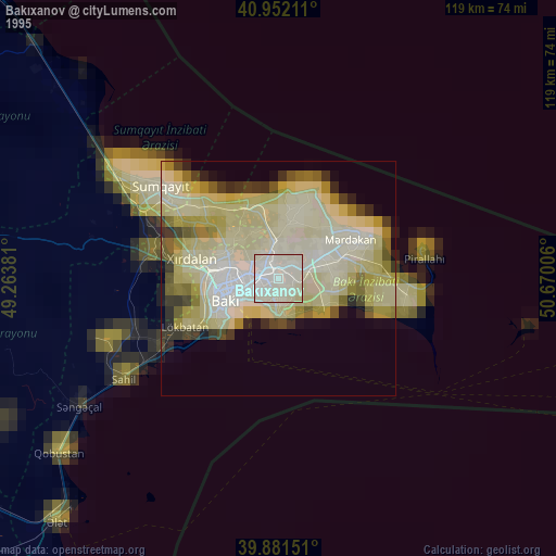
» NASA, Earths city lights 1995
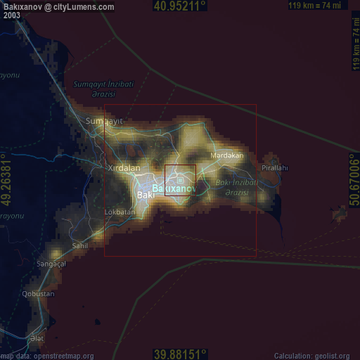
» NASA city lights 2003
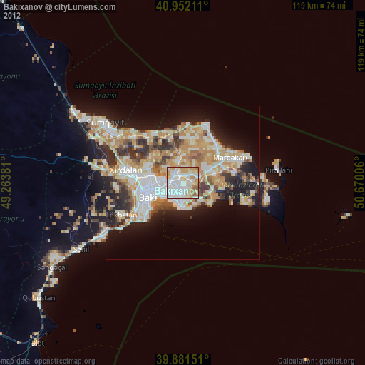
» Earth at Night: Flat Maps 2012, 2016