Hacıqabul night lights from space
Night Light of Hacıqabul from space (Azerbaijan) Src. Average luminocity for 10x10km area is 7.6023% and for 50x50km: 2.5512%.
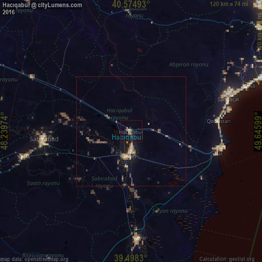
Analysis of Hacıqabul night lights 2016
Square area 10x10 km:
 0%
0%90-99
0.97%80-89
0%70-79
0.49%60-69
2.11%50-59
1.79%40-49
1.14%30-39
1.3%20-29
1.3%10-19
4.55%0-9
86.36%Square area 50x50 km:
0.07%90-99
0.21%80-89
0.22%70-79
0.17%60-69
0.43%50-59
0.58%40-49
0.72%30-39
0.63%20-29
0.74%10-19
1.83%0-9
94.41%Clear (daylight) street map image can be seen on geolist.org.
Map coordinates:
40° 34' 29.7" North, 48° 14' 23.1" East
40° 2' 19.5" North, 48° 56' 34.3" East
39° 29' 53.9" North, 49° 38' 45.6" East
Some cities around Hacıqabul sort by population:
• Saatlı
50.3 km =31.3 mi,  256°
256°
• Şirvan
11.3 km =7 mi,  186°
186°
• Salyan
49.3 km =30.6 mi,  175°
175°
• Shamakhi
70.7 km =43.9 mi,  338°
338°
• Sabirabad
39.8 km =24.7 mi,  265°
265°
• Əhmədbəyli
50.2 km =31.2 mi,  249°
249°
• Qobustan
40.2 km =25 mi,  83°
83°
• Qobustan
55 km =34.2 mi,  358°
358°
585225 (p: 23,102)
Sources (retrieved 2019-11-25):
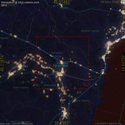
» Earth at Night: Flat Maps 2012, 2016