Shamakhi night lights from space
Night Light of Shamakhi (Şamaxı) from space (Azerbaijan) Src. Average luminocity for 10x10km area is 10.4026% and for 50x50km: 0.6905%.
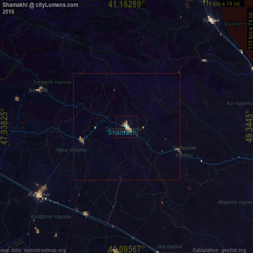
Analysis of Shamakhi night lights 2016
Square area 10x10 km:
 1.46%
1.46%90-99
0.97%80-89
0.16%70-79
1.14%60-69
2.11%50-59
2.11%40-49
3.25%30-39
1.95%20-29
0.97%10-19
0.49%0-9
85.39%Square area 50x50 km:
0.06%90-99
0.04%80-89
0.05%70-79
0.08%60-69
0.08%50-59
0.22%40-49
0.21%30-39
0.23%20-29
0.08%10-19
0.02%0-9
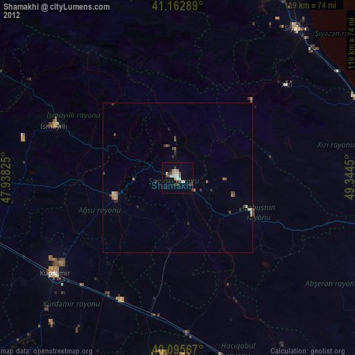
98.93%Clear (daylight) street map image can be seen on geolist.org.
Map coordinates:
41° 9' 46.4" North, 47° 56' 17.7" East
40° 37' 53.1" North, 48° 38' 28.9" East
40° 5' 44.4" North, 49° 20' 40.2" East
Some cities around Shamakhi sort by population:
• Sabirabad
70.6 km =43.9 mi,  191°
191°
• Divichibazar
69.7 km =43.3 mi,  24°
24°
• Kyurdarmir
52.1 km =32.4 mi,  231°
231°
• Aghsu
21.4 km =13.3 mi,  251°
251°
• İsmayıllı
44.7 km =27.8 mi,  292°
292°
• Qobustan
26.6 km =16.5 mi,  114°
114°
• Khyzy
47.8 km =29.7 mi,  49°
49°
• Kyzyl-Burun
63.7 km =39.6 mi,  38°
38°
585156 (p: 29,403)
Sources (retrieved 2019-11-25):
» Earth at Night: Flat Maps 2012, 2016