Salyan night lights from space
Night Light of Salyan from space (Azerbaijan) Src. Average luminocity for 10x10km area is 16.2159% and for 50x50km: 1.6063%.
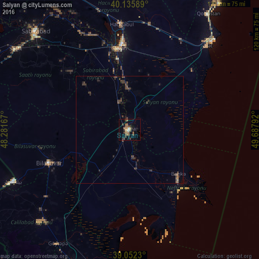
Analysis of Salyan night lights 2016
Square area 10x10 km:
 0.32%
0.32%90-99
1.3%80-89
0.97%70-79
1.79%60-69
5.68%50-59
4.22%40-49
4.55%30-39
1.62%20-29
1.3%10-19
6.66%0-9
71.59%Square area 50x50 km:
0.01%90-99
0.05%80-89
0.06%70-79
0.11%60-69
0.35%50-59
0.33%40-49
0.65%30-39
0.71%20-29
0.52%10-19
0.48%0-9
96.71%Clear (daylight) street map image can be seen on geolist.org.
Map coordinates:
40° 8' 9.2" North, 48° 16' 54" East
39° 35' 46.4" North, 48° 59' 5.2" East
39° 3' 8.3" North, 49° 41' 16.5" East
Some cities around Salyan sort by population:
• Şirvan
38.3 km =23.8 mi,  352°
352°
• Jalilabad
60.3 km =37.5 mi,  224°
224°
• Hacıqabul
49.3 km =30.6 mi,  355°
355°
• Neftçala
33.2 km =20.6 mi,  137°
137°
• Pushkino
40.7 km =25.3 mi,  247°
247°
• Əhmədbəyli
59.8 km =37.2 mi,  301°
301°
• Bīleh Savār, IR
59.2 km =36.8 mi, 245°
• Severo-Vostotchnyi Bank
30.5 km =19 mi,  132°
132°
147271 (p: 36,555)
Sources (retrieved 2019-11-25):
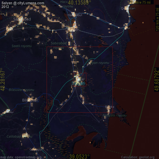
» Earth at Night: Flat Maps 2012, 2016