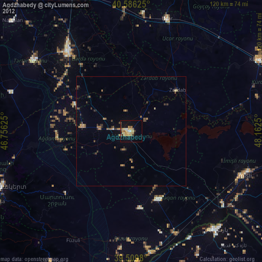
Agdzhabedy night lights from space
Night Light of Agdzhabedy (Ağcabǝdi) from space (Azerbaijan) Src. Average luminocity for 10x10km area is 22.2938% and for 50x50km: 2.4364%.
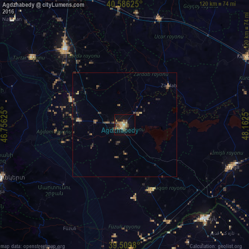
Analysis of Agdzhabedy night lights 2016
Square area 10x10 km:
 0.32%
0.32%90-99
1.95%80-89
3.73%70-79
3.25%60-69
7.31%50-59
2.44%40-49
3.73%30-39
4.06%20-29
2.44%10-19
20.13%0-9
50.65%Square area 50x50 km:
0.01%90-99
0.1%80-89
0.31%70-79
0.29%60-69
0.55%50-59
0.3%40-49
0.65%30-39
0.86%20-29
0.62%10-19
1.04%0-9
95.27%Clear (daylight) street map image can be seen on geolist.org.
Map coordinates:
40° 35' 10.5" North, 46° 45' 22.5" East
40° 3' 0.5" North, 47° 27' 33.7" East
39° 30' 35.3" North, 48° 9' 45" East
Some cities around Agdzhabedy sort by population:
• Ağdam
45.8 km =28.5 mi,  261°
261°
• Barda
45.9 km =28.5 mi,  321°
321°
• Ujar
54.7 km =34 mi,  17°
17°
• Beylagan
33.4 km =20.8 mi,  156°
156°
• Zardob
28.5 km =17.7 mi,  48°
48°
• Dünyamalılar
40 km =24.9 mi,  140°
140°
• Avşar
9 km =5.6 mi,  199°
199°
• Novyy Karanlug
41 km =25.5 mi,  226°
226°
587384 (p: 34,989)
Sources (retrieved 2019-11-25):
» Earth at Night: Flat Maps 2012, 2016