Casey night lights from space
Night Light of Casey (ACT) from space (Australia) Src. Average luminocity for 10x10km area is 46.4178% and for 50x50km: 13.3037%.
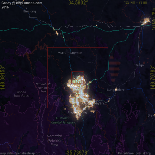
Analysis of Casey night lights 2016
Square area 10x10 km:
100  4.37%
4.37%
90-99 8.92%
80-89 6.64%
70-79 9.09%
60-69 13.11%
50-59 6.82%
40-49 2.27%
30-39 5.42%
20-29 9.09%
10-19 21.15%
0-9 13.11%
4.37%90-99
8.92%80-89
6.64%70-79
9.09%60-69
13.11%50-59
6.82%40-49
2.27%30-39
5.42%20-29
9.09%10-19
21.15%0-9
13.11%Square area 50x50 km:
100 2.18%
90-99 2.68%
80-89 1.23%
70-79 1.96%
60-69 3.35%
50-59 1.58%
40-49 1.19%
30-39 2.26%
20-29 2.63%
10-19 4.77%
0-9 76.16%
2.18%90-99
2.68%80-89
1.23%70-79
1.96%60-69
3.35%50-59
1.58%40-49
1.19%30-39
2.26%20-29
2.63%10-19
4.77%0-9
76.16%Clear (daylight) street map image can be seen on geolist.org.
Map coordinates:
34° 35' 24.7" South, 148° 23' 29.7" East
35° 10' 1.2" South, 149° 5' 40.9" East
35° 44' 23.1" South, 149° 47' 52.2" East
Some cities around Casey sort by population:
• Ngunnawal
1.7 km =1.1 mi,  112°
112°
• Nicholls
2.3 km =1.4 mi,  175°
175°
• Bonner
4 km =2.5 mi,  82°
82°
• Franklin
5.7 km =3.5 mi,  129°
129°
• Gungahlin
4.4 km =2.7 mi,  120°
120°
• Amaroo
3 km =1.9 mi,  95°
95°
• Palmerston
3.8 km =2.4 mi,  143°
143°
• Evatt
5.5 km =3.4 mi,  205°
205°
8349161 (p: 5,664)
Sources (retrieved 2019-11-25):
» Earth at Night: Flat Maps 2012, 2016