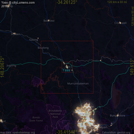
Yass night lights from space
Night Light of Yass (New South Wales) from space (Australia) Src. Average luminocity for 10x10km area is 4.7179% and for 50x50km: 0.2043%.
Analysis of Yass night lights 2016
Square area 10x10 km:
 0%
0%90-99
0%80-89
0.37%70-79
1.1%60-69
2.75%50-59
1.28%40-49
0%30-39
0.37%20-29
1.65%10-19
0.18%0-9
92.31%Square area 50x50 km:
0%90-99
0%80-89
0.03%70-79
0.04%60-69
0.11%50-59
0.05%40-49
0%30-39
0.01%20-29
0.06%10-19
0.01%0-9
99.69%Clear (daylight) street map image can be seen on geolist.org.
Map coordinates:
34° 15' 40.5" South, 148° 12' 24.3" East
34° 50' 25.3" South, 148° 54' 35.5" East
35° 24' 55.5" South, 149° 36' 46.8" East
Some cities around Yass sort by population:
• Ngunnawal
41.3 km =25.7 mi,  153°
153°
• Dunlop
40.6 km =25.2 mi,  165°
165°
• Nicholls
42.2 km =26.2 mi,  156°
156°
• Macgregor
42.1 km =26.2 mi, 167°
• Bonner
41.4 km =25.7 mi, 149°
• Gungahlin
43.7 km =27.2 mi, 151°
• Casey
40 km =24.9 mi, 155°
• Amaroo
41.7 km =25.9 mi, 151°
2142412 (p: 6,454)
Sources (retrieved 2019-11-25):
» Earth at Night: Flat Maps 2012, 2016