Tumut night lights from space
Night Light of Tumut (New South Wales) from space (Australia) Src. Average luminocity for 10x10km area is 6.3755% and for 50x50km: 0.3564%.
Analysis of Tumut night lights 2016
Square area 10x10 km:
 0.37%
0.37%90-99
0.37%80-89
1.28%70-79
0.37%60-69
1.28%50-59
0.73%40-49
0%30-39
3.48%20-29
3.11%10-19
0.73%0-9
88.28%Square area 50x50 km:
0.01%90-99
0.01%80-89
0.05%70-79
0.06%60-69
0.11%50-59
0.03%40-49
0%30-39
0.16%20-29
0.12%10-19
0.05%0-9
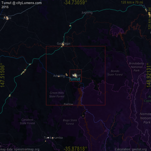
99.38%Clear (daylight) street map image can be seen on geolist.org.
Map coordinates:
34° 43' 50.1" South, 147° 30' 54.2" East
35° 18' 23.1" South, 148° 13' 5.4" East
35° 52' 41.4" South, 148° 55' 16.7" East
Some cities around Tumut sort by population:
• Kambah
76.7 km =47.7 mi,  96°
96°
• Dunlop
73.9 km =45.9 mi,  80°
80°
• Macgregor
72.8 km =45.2 mi, 81°
• Belconnen
77.4 km =48.1 mi, 84°
• Cootamundra
76 km =47.2 mi,  346°
346°
• Lake Albert
77.4 km =48.1 mi,  281°
281°
• Evatt
78 km =48.5 mi, 82°
• Curtin
78 km =48.5 mi,  91°
91°
2145875 (p: 6,167)
Sources (retrieved 2019-11-25):
» Earth at Night: Flat Maps 2012, 2016