Sebastopol night lights from space
Night Light of Sebastopol (Victoria) from space (Australia) Src. Average luminocity for 10x10km area is 47.7381% and for 50x50km: 3.0828%.
Analysis of Sebastopol night lights 2016
Square area 10x10 km:
 5.44%
5.44%90-99
5.61%80-89
9.35%70-79
12.76%60-69
4.93%50-59
8.67%40-49
10.03%30-39
5.27%20-29
5.1%10-19
26.7%0-9
6.12%Square area 50x50 km:
0.28%90-99
0.27%80-89
0.38%70-79
0.74%60-69
0.36%50-59
0.55%40-49
0.54%30-39
0.44%20-29
0.43%10-19
2.74%0-9
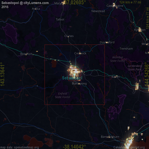
93.27%Clear (daylight) street map image can be seen on geolist.org.
Map coordinates:
37° 1' 33.8" South, 143° 8' 11.1" East
37° 35' 7.2" South, 143° 50' 22.3" East
38° 8' 25.5" South, 144° 32' 33.6" East
Some cities around Sebastopol sort by population:
• Ballarat
2.3 km =1.4 mi,  22°
22°
• Wendouree
6.1 km =3.8 mi,  350°
350°
• Alfredton
2.9 km =1.8 mi,  315°
315°
• Darley
53.8 km =33.4 mi,  98°
98°
• Bacchus Marsh
53.6 km =33.3 mi, 100°
• Delacombe
2.2 km =1.4 mi,  259°
259°
• Ballarat Central
2.8 km =1.7 mi, 21°
• Ballarat East
3.2 km =2 mi,  49°
49°
2149936 (p: 9,890)
Sources (retrieved 2019-11-25):
» Earth at Night: Flat Maps 2012, 2016