Warrandyte night lights from space
Night Light of Warrandyte (Victoria) from space (Australia) Src. Average luminocity for 10x10km area is 23.6207% and for 50x50km: 35.6269%.
Analysis of Warrandyte night lights 2016
Square area 10x10 km:
 0%
0%90-99
0%80-89
0.85%70-79
3.06%60-69
3.06%50-59
5.95%40-49
11.05%30-39
5.27%20-29
14.8%10-19
26.87%0-9
29.08%Square area 50x50 km:
8.2%90-99
7.96%80-89
4.45%70-79
6.94%60-69
6.03%50-59
4.34%40-49
3.12%30-39
2.52%20-29
3.98%10-19
6.01%0-9
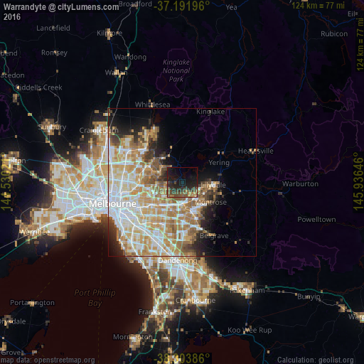
46.44%Clear (daylight) street map image can be seen on geolist.org.
Map coordinates:
37° 11' 31.1" South, 144° 31' 48.8" East
37° 45' 0" South, 145° 13' 60" East
38° 18' 13.9" South, 145° 56' 11.3" East
Some cities around Warrandyte sort by population:
• Croydon
7.1 km =4.4 mi,  141°
141°
• Ringwood
7.4 km =4.6 mi,  180°
180°
• Templestowe
7.5 km =4.7 mi,  266°
266°
• Donvale
6.7 km =4.2 mi,  229°
229°
• Ringwood East
7.6 km =4.7 mi,  168°
168°
• Chirnside Park
7.2 km =4.5 mi,  79°
79°
• Ringwood North
5.6 km =3.5 mi, 180°
• Croydon North
5.4 km =3.4 mi,  110°
110°
2144583 (p: 5,368)
Sources (retrieved 2019-11-25):
» Earth at Night: Flat Maps 2012, 2016