Croydon North night lights from space
Night Light of Croydon North (Victoria) from space (Australia) Src. Average luminocity for 10x10km area is 39.2942% and for 50x50km: 30.2122%.
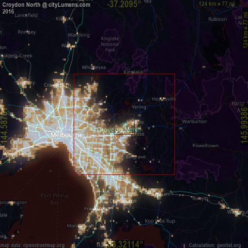
Analysis of Croydon North night lights 2016
Square area 10x10 km:
 2.72%
2.72%90-99
2.89%80-89
2.04%70-79
7.14%60-69
9.35%50-59
10.88%40-49
13.1%30-39
9.01%20-29
8.84%10-19
21.43%0-9
12.59%Square area 50x50 km:
5.46%90-99
6.75%80-89
3.78%70-79
6.69%60-69
6.12%50-59
4.04%40-49
2.86%30-39
2.02%20-29
3.22%10-19
5.19%0-9
53.88%Clear (daylight) street map image can be seen on geolist.org.
Map coordinates:
37° 12' 34.2" South, 144° 35' 15.4" East
37° 46' 2.7" South, 145° 17' 26.6" East
38° 19' 16.1" South, 145° 59' 37.9" East
Some cities around Croydon North sort by population:
• Mooroolbark
2.8 km =1.7 mi,  126°
126°
• Lilydale
5.6 km =3.5 mi,  69°
69°
• Kilsyth
4.3 km =2.7 mi,  147°
147°
• Ringwood East
6.5 km =4 mi,  213°
213°
• Chirnside Park
3.8 km =2.4 mi,  32°
32°
• Ringwood North
6.2 km =3.9 mi,  234°
234°
• Bayswater North
6.6 km =4.1 mi,  174°
174°
• Warrandyte
5.4 km =3.4 mi,  290°
290°
2169866 (p: 7,653)
Sources (retrieved 2019-11-25):
» Earth at Night: Flat Maps 2012, 2016