Croydon night lights from space
Night Light of Croydon (Victoria) from space (Australia) Src. Average luminocity for 10x10km area is 59.4439% and for 50x50km: 34.2054%.
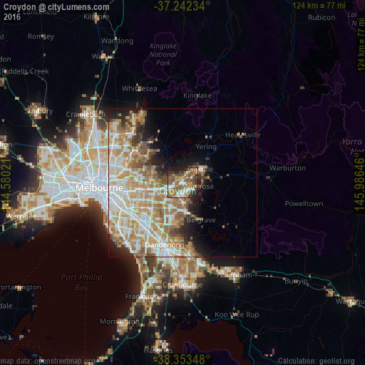
Analysis of Croydon night lights 2016
Square area 10x10 km:
 8.16%
8.16%90-99
8.16%80-89
3.91%70-79
10.71%60-69
17.01%50-59
16.84%40-49
13.27%30-39
9.01%20-29
9.35%10-19
3.57%0-9
0%Square area 50x50 km:
6.62%90-99
7.87%80-89
4.2%70-79
7.2%60-69
6.61%50-59
4.59%40-49
3.1%30-39
2.15%20-29
3.84%10-19
5.92%0-9
47.92%Clear (daylight) street map image can be seen on geolist.org.
Map coordinates:
37° 14' 32.4" South, 144° 34' 48.8" East
37° 48' 0" South, 145° 16' 60" East
38° 21' 12.5" South, 145° 59' 11.3" East
Some cities around Croydon sort by population:
• Mooroolbark
3.5 km =2.2 mi,  56°
56°
• Ringwood
4.8 km =3 mi,  247°
247°
• Bayswater
5.7 km =3.5 mi,  194°
194°
• Kilsyth
2.9 km =1.8 mi,  90°
90°
• Ringwood East
3.5 km =2.2 mi,  237°
237°
• Ringwood North
4.4 km =2.7 mi,  270°
270°
• Heathmont
4.7 km =2.9 mi,  218°
218°
• Bayswater North
3.2 km =2 mi,  155°
155°
2169867 (p: 26,502)
Sources (retrieved 2019-11-25):
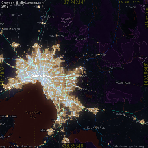
» Earth at Night: Flat Maps 2012, 2016