Toorak night lights from space
Night Light of Toorak (Victoria) from space (Australia) Src. Average luminocity for 10x10km area is 95.4643% and for 50x50km: 56.0603%.
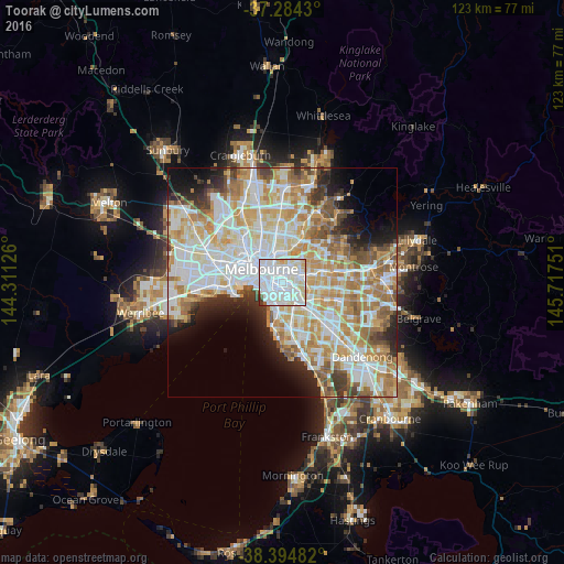
Analysis of Toorak night lights 2016
Square area 10x10 km:
 56.46%
90-99
27.38%80-89
10.2%70-79
2.72%60-69
0.17%50-59
1.02%40-49
1.19%30-39
0.85%20-29
0%10-19
0%0-9
0%Square area 50x50 km:
15.59%90-99
14.27%80-89
7.26%70-79
9.5%60-69
8.36%50-59
5.44%40-49
3.52%30-39
3.31%20-29
4.78%10-19
6.04%0-9
21.92%Clear (daylight) street map image can be seen on geolist.org.
Map coordinates:
37° 17' 3.5" South, 144° 18' 40.5" East
37° 50' 29.9" South, 145° 0' 51.8" East
38° 23' 41.4" South, 145° 43' 3" East
Some cities around Toorak sort by population:
• Richmond
2.8 km =1.7 mi,  336°
336°
• South Yarra
2 km =1.2 mi,  280°
280°
• Hawthorn South
2.2 km =1.4 mi,  63°
63°
• St Kilda East
3 km =1.9 mi,  204°
204°
• Prahran
2.1 km =1.3 mi,  240°
240°
• Malvern
2.6 km =1.6 mi,  152°
152°
• Armadale
1.6 km =1 mi,  160°
160°
• Windsor
2.3 km =1.4 mi, 235°
2146291 (p: 12,556)
Sources (retrieved 2019-11-25):
» Earth at Night: Flat Maps 2012, 2016