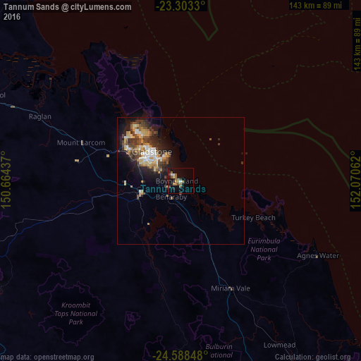
Tannum Sands night lights from space
Night Light of Tannum Sands (Queensland) from space (Australia) Src. Average luminocity for 10x10km area is 15.3258% and for 50x50km: 8.2192%.
Analysis of Tannum Sands night lights 2016
Square area 10x10 km:
 0.95%
0.95%90-99
1.7%80-89
0.76%70-79
2.08%60-69
3.6%50-59
4.55%40-49
1.52%30-39
1.52%20-29
1.7%10-19
12.5%0-9
69.13%Square area 50x50 km:
0.96%90-99
1.01%80-89
1.34%70-79
1.23%60-69
0.8%50-59
1.04%40-49
1.99%30-39
1.67%20-29
2.1%10-19
5.1%0-9
82.74%Clear (daylight) street map image can be seen on geolist.org.
Map coordinates:
23° 18' 11.9" South, 150° 39' 51.7" East
23° 56' 51" South, 151° 22' 3" East
24° 35' 18.5" South, 152° 4' 14.2" East
Some cities around Tannum Sands sort by population:
• Rockhampton
108.1 km =67.2 mi,  305°
305°
• Gladstone
15.7 km =9.8 mi, 314°
• Frenchville
107.1 km =66.5 mi, 308°
• Berserker
108.3 km =67.3 mi, 307°
• Biloela
99.8 km =62 mi,  240°
240°
• Clinton
17.2 km =10.7 mi,  297°
297°
• The Range
108.1 km =67.2 mi, 304°
• Calliope
18.2 km =11.3 mi,  248°
248°
8219811 (p: 5,192)
Sources (retrieved 2019-11-25):
» Earth at Night: Flat Maps 2012, 2016