Biloela night lights from space
Night Light of Biloela (Queensland) from space (Australia) Src. Average luminocity for 10x10km area is 11.125% and for 50x50km: 1.0466%.
Analysis of Biloela night lights 2016
Square area 10x10 km:
 1.19%
1.19%90-99
0.6%80-89
0.99%70-79
2.78%60-69
3.37%50-59
0.6%40-49
2.18%30-39
1.79%20-29
0.2%10-19
0.6%0-9
85.71%Square area 50x50 km:
0.08%90-99
0.06%80-89
0.16%70-79
0.16%60-69
0.25%50-59
0.09%40-49
0.28%30-39
0.23%20-29
0.08%10-19
0.06%0-9
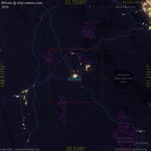
98.57%Clear (daylight) street map image can be seen on geolist.org.
Map coordinates:
23° 45' 14.1" South, 149° 48' 42.9" East
24° 23' 45.2" South, 150° 30' 54.1" East
25° 2' 4.6" South, 151° 13' 5.4" East
Some cities around Biloela sort by population:
• Rockhampton
112.9 km =70.2 mi,  359°
359°
• Gladstone
96.9 km =60.2 mi,  51°
51°
• Gracemere
106.7 km =66.3 mi, 356°
• Berserker
115.4 km =71.7 mi,  0°
0°
• Clinton
91.9 km =57.1 mi, 50°
• The Range
111.6 km =69.3 mi, 359°
• Tannum Sands
99.8 km =62 mi,  60°
60°
• Calliope
81.9 km =50.9 mi, 58°
2175819 (p: 6,108)
Sources (retrieved 2019-11-25):
» Earth at Night: Flat Maps 2012, 2016