The Range night lights from space
Night Light of The Range (Queensland) from space (Australia) Src. Average luminocity for 10x10km area is 45.1705% and for 50x50km: 4.5083%.
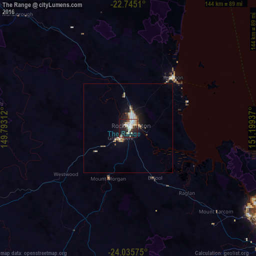
Analysis of The Range night lights 2016
Square area 10x10 km:
 11.17%
90-99
11.74%80-89
6.25%70-79
3.22%60-69
0.95%50-59
3.41%40-49
5.11%30-39
3.41%20-29
14.2%10-19
36.55%0-9
3.98%Square area 50x50 km:
0.73%90-99
0.91%80-89
0.56%70-79
0.33%60-69
0.43%50-59
0.38%40-49
0.64%30-39
0.34%20-29
1.22%10-19
3.83%0-9
90.63%Clear (daylight) street map image can be seen on geolist.org.
Map coordinates:
22° 44' 42.4" South, 149° 47' 35.2" East
23° 23' 31.2" South, 150° 29' 46.5" East
24° 2' 8.7" South, 151° 11' 57.7" East
Some cities around The Range sort by population:
• Rockhampton
1.6 km =1 mi,  37°
37°
• Yeppoon
38.9 km =24.2 mi, 40°
• Gracemere
6.5 km =4 mi,  217°
217°
• Norman Gardens
7.6 km =4.7 mi,  24°
24°
• Frenchville
7 km =4.3 mi, 44°
• Berserker
4.5 km =2.8 mi,  33°
33°
• Yeppoon city centre
38.1 km =23.7 mi, 40°
• Park Avenue
4.9 km =3 mi, 28°
8348155 (p: 5,561)
Sources (retrieved 2019-11-25):
» Earth at Night: Flat Maps 2012, 2016